ICELAND_Giorno_11
A cycling route starting in Norðurþing, Northeast, Iceland.
Overview
About this route
- -:--
- Duration
- 103.5 km
- Distance
- 1,309 m
- Ascent
- 1,349 m
- Descent
- ---
- Avg. speed
- 310 m
- Max. altitude
Route quality
Waytypes & surfaces along the route
Waytypes
Cycleway
20.7 km
(20 %)
Quiet road
12.4 km
(12 %)
Surfaces
Paved
77.6 km
(75 %)
Unpaved
9.3 km
(9 %)
Asphalt
77.6 km
(75 %)
Gravel
6.2 km
(6 %)
Continue with Bikemap
Use, edit, or download this cycling route
You would like to ride ICELAND_Giorno_11 or customize it for your own trip? Here is what you can do with this Bikemap route:
Free features
- Save this route as favorite or in collections
- Copy & plan your own version of this route
- Split it into stages to create a multi-day tour
- Sync your route with Garmin or Wahoo
Premium features
Free trial for 3 days, or one-time payment. More about Bikemap Premium.
- Navigate this route on iOS & Android
- Export a GPX / KML file of this route
- Create your custom printout (try it for free)
- Download this route for offline navigation
Discover more Premium features.
Get Bikemap PremiumFrom our community
Other popular routes starting in Norðurþing
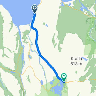
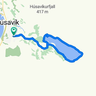
- Husavik - Theistareykir
- Distance
- 30.2 km
- Ascent
- 0 m
- Descent
- 0 m
- Location
- Norðurþing, Northeast, Iceland
- ISLANDA_Girono_11
- Distance
- 86.3 km
- Ascent
- 1,377 m
- Descent
- 1,414 m
- Location
- Norðurþing, Northeast, Iceland
- ICELAND_Giorno_11
- Distance
- 103.5 km
- Ascent
- 1,309 m
- Descent
- 1,349 m
- Location
- Norðurþing, Northeast, Iceland
- ETAPA 2, 129 KM
- Distance
- 249.3 km
- Ascent
- 0 m
- Descent
- 0 m
- Location
- Norðurþing, Northeast, Iceland
- ETAPA 1 118KM
- Distance
- 120.4 km
- Ascent
- 0 m
- Descent
- 0 m
- Location
- Norðurþing, Northeast, Iceland
- 1 etapa 120km
- Distance
- 122.8 km
- Ascent
- 0 m
- Descent
- 0 m
- Location
- Norðurþing, Northeast, Iceland
- Husavik - Reykjahlid
- Distance
- 56.4 km
- Ascent
- 0 m
- Descent
- 0 m
- Location
- Norðurþing, Northeast, Iceland
- 6.etapa Husavik - Reykjahlio
- Distance
- 63.9 km
- Ascent
- 0 m
- Descent
- 0 m
- Location
- Norðurþing, Northeast, Iceland
Open it in the app