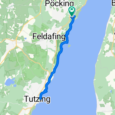

Maisinger Seehof - Rathaus Pöcking
- 2.6 km
- 68 m
- 35 m
- Pöcking, Bavaria, Germany
A cycling route starting in Pöcking, Bavaria, Germany.
Overview
not just simply test
created this 17 years ago
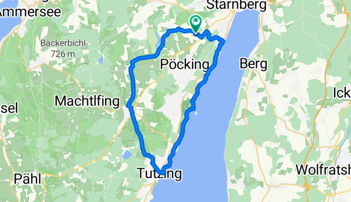
Route quality
Track
8.1 km
33 %
Quiet road
7.4 km
30 %
Paved
10.3 km
(42 %)
Unpaved
10.8 km
(44 %)
Asphalt
9.9 km
40 %
Gravel
8.1 km
33 %
Continue with Bikemap
You would like to ride Der Starnberger See or customize it for your own trip? Here is what you can do with this Bikemap route:
Free trial for 3 days, or one-time payment. More about Bikemap Premium.
Discover more Premium features.
Get Bikemap PremiumFrom our community
Open it in the app