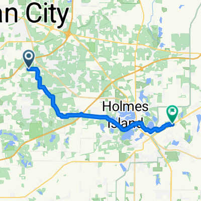
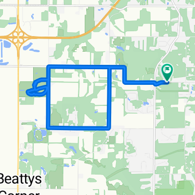
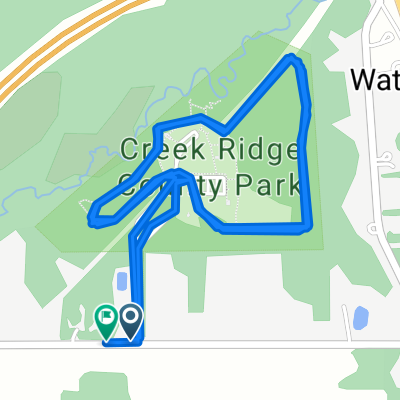
2150–2198 E Coolspring Ave, Trail Creek to 324 Johnson Rd, Trail Creek
A cycling route starting in Trail Creek, Indiana, United States.
Overview
About this route
- 1 h 17 min
- Duration
- 26 km
- Distance
- 108 m
- Ascent
- 109 m
- Descent
- 20.1 km/h
- Avg. speed
- 200 m
- Max. altitude
Route quality
Waytypes & surfaces along the route
Waytypes
Road
11.9 km
(46 %)
Cycleway
6.2 km
(24 %)
Surfaces
Paved
9.9 km
(38 %)
Asphalt
6.2 km
(24 %)
Concrete
2.6 km
(10 %)
Continue with Bikemap
Use, edit, or download this cycling route
You would like to ride 2150–2198 E Coolspring Ave, Trail Creek to 324 Johnson Rd, Trail Creek or customize it for your own trip? Here is what you can do with this Bikemap route:
Free features
- Save this route as favorite or in collections
- Copy & plan your own version of this route
- Sync your route with Garmin or Wahoo
Premium features
Free trial for 3 days, or one-time payment. More about Bikemap Premium.
- Navigate this route on iOS & Android
- Export a GPX / KML file of this route
- Create your custom printout (try it for free)
- Download this route for offline navigation
Discover more Premium features.
Get Bikemap PremiumFrom our community
Other popular routes starting in Trail Creek
- 2005 E Coolspring Ave, Trail Creek to 324 Johnson Rd, Trail Creek
- Distance
- 27.1 km
- Ascent
- 109 m
- Descent
- 110 m
- Location
- Trail Creek, Indiana, United States
- W County Road 400 N, Michigan City to W County Road 400 N, Michigan City
- Distance
- 10.1 km
- Ascent
- 28 m
- Descent
- 29 m
- Location
- Trail Creek, Indiana, United States
- 2150–2198 E Coolspring Ave, Trail Creek to 324 Johnson Rd, Trail Creek
- Distance
- 26 km
- Ascent
- 108 m
- Descent
- 109 m
- Location
- Trail Creek, Indiana, United States
- W County Road 275 N, Michigan City to W County Road 275 N, Michigan City
- Distance
- 13 km
- Ascent
- 66 m
- Descent
- 68 m
- Location
- Trail Creek, Indiana, United States
- 09/17/2020
- Distance
- 3.2 km
- Ascent
- 11 m
- Descent
- 13 m
- Location
- Trail Creek, Indiana, United States
- W County Road 400 N, Michigan City to W County Road 400 N, Michigan City
- Distance
- 7 km
- Ascent
- 42 m
- Descent
- 41 m
- Location
- Trail Creek, Indiana, United States
- 1316 N Cortland Ln, La Porte to 1316 N Cortland Ln, La Porte
- Distance
- 12.6 km
- Ascent
- 183 m
- Descent
- 184 m
- Location
- Trail Creek, Indiana, United States
- 609 US-20, Michigan City to Downtown Gary, Gary
- Distance
- 54 km
- Ascent
- 152 m
- Descent
- 162 m
- Location
- Trail Creek, Indiana, United States
Open it in the app