
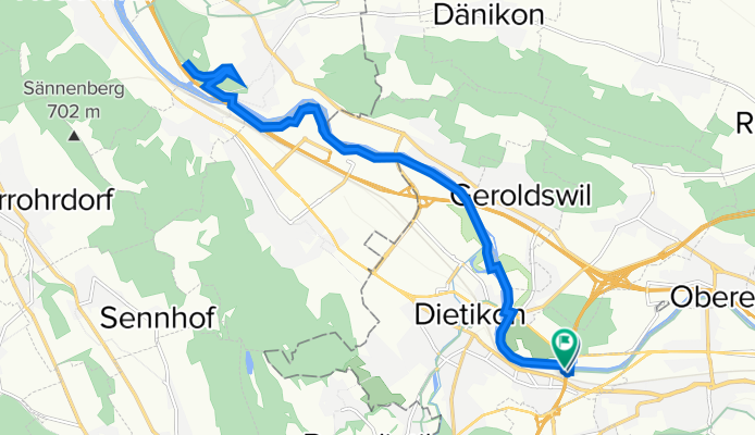
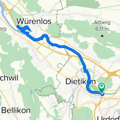
Westring-Zürich, Dietikon to Limmatweg, Dietikon
A cycling route starting in Dietikon / Hofacker, Canton of Zurich, Switzerland.
Overview
About this route
- 1 h 25 min
- Duration
- 20.3 km
- Distance
- 133 m
- Ascent
- 132 m
- Descent
- 14.4 km/h
- Avg. speed
- 405 m
- Max. altitude

Route quality
Waytypes & surfaces along the route
Waytypes
Track
16.7 km
(82 %)
Quiet road
1.8 km
(9 %)
Surfaces
Paved
4.9 km
(24 %)
Unpaved
15.5 km
(76 %)
Gravel
12.7 km
(63 %)
Asphalt
4.7 km
(23 %)
Continue with Bikemap
Use, edit, or download this cycling route
You would like to ride Westring-Zürich, Dietikon to Limmatweg, Dietikon or customize it for your own trip? Here is what you can do with this Bikemap route:
Free features
- Save this route as favorite or in collections
- Copy & plan your own version of this route
- Sync your route with Garmin or Wahoo
Premium features
Free trial for 3 days, or one-time payment. More about Bikemap Premium.
- Navigate this route on iOS & Android
- Export a GPX / KML file of this route
- Create your custom printout (try it for free)
- Download this route for offline navigation
Discover more Premium features.
Get Bikemap PremiumFrom our community
Other popular routes starting in Dietikon / Hofacker
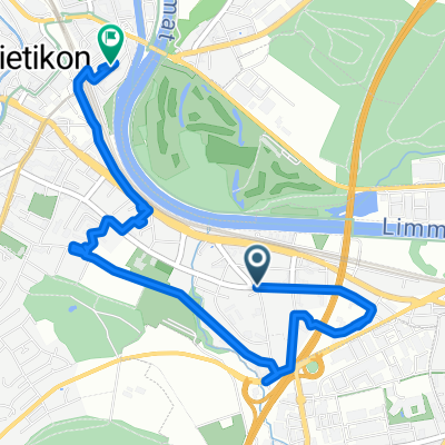 Short ride through Dietikon
- Distance
- 4.4 km
- Ascent
- 15 m
- Descent
- 21 m
- Location
- Dietikon / Hofacker, Canton of Zurich, Switzerland
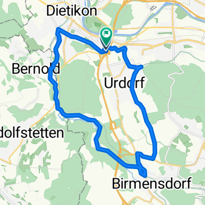
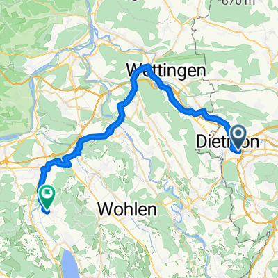
 Urdorf - Tägerig via Baden
- Distance
- 24.7 km
- Ascent
- 147 m
- Descent
- 172 m
- Location
- Dietikon / Hofacker, Canton of Zurich, Switzerland
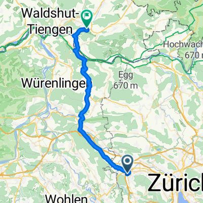
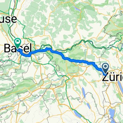 Zürich - Basel
- Distance
- 84.4 km
- Ascent
- 536 m
- Descent
- 671 m
- Location
- Dietikon / Hofacker, Canton of Zurich, Switzerland
 Easy ride in Dietikon
- Distance
- 16.6 km
- Ascent
- 205 m
- Descent
- 208 m
- Location
- Dietikon / Hofacker, Canton of Zurich, Switzerland
 Westring-Zürich, Dietikon to Limmatweg, Dietikon
- Distance
- 20.3 km
- Ascent
- 133 m
- Descent
- 132 m
- Location
- Dietikon / Hofacker, Canton of Zurich, Switzerland
 Kurze Ausfahrt von Dietikon nach Untersiggenthal
- Distance
- 16.9 km
- Ascent
- 322 m
- Descent
- 370 m
- Location
- Dietikon / Hofacker, Canton of Zurich, Switzerland
 Urdorf - Lauchringen
- Distance
- 37.5 km
- Ascent
- 479 m
- Descent
- 516 m
- Location
- Dietikon / Hofacker, Canton of Zurich, Switzerland
 Limmatschanzenweg, Fahrweid nach Hasenbergstrasse, Egliswil
- Distance
- 38.8 km
- Ascent
- 409 m
- Descent
- 346 m
- Location
- Dietikon / Hofacker, Canton of Zurich, Switzerland
Open it in the app