

Rund um den Itonskopf Tour
A cycling route starting in Schruns, Vorarlberg, Austria.
Overview
About this route
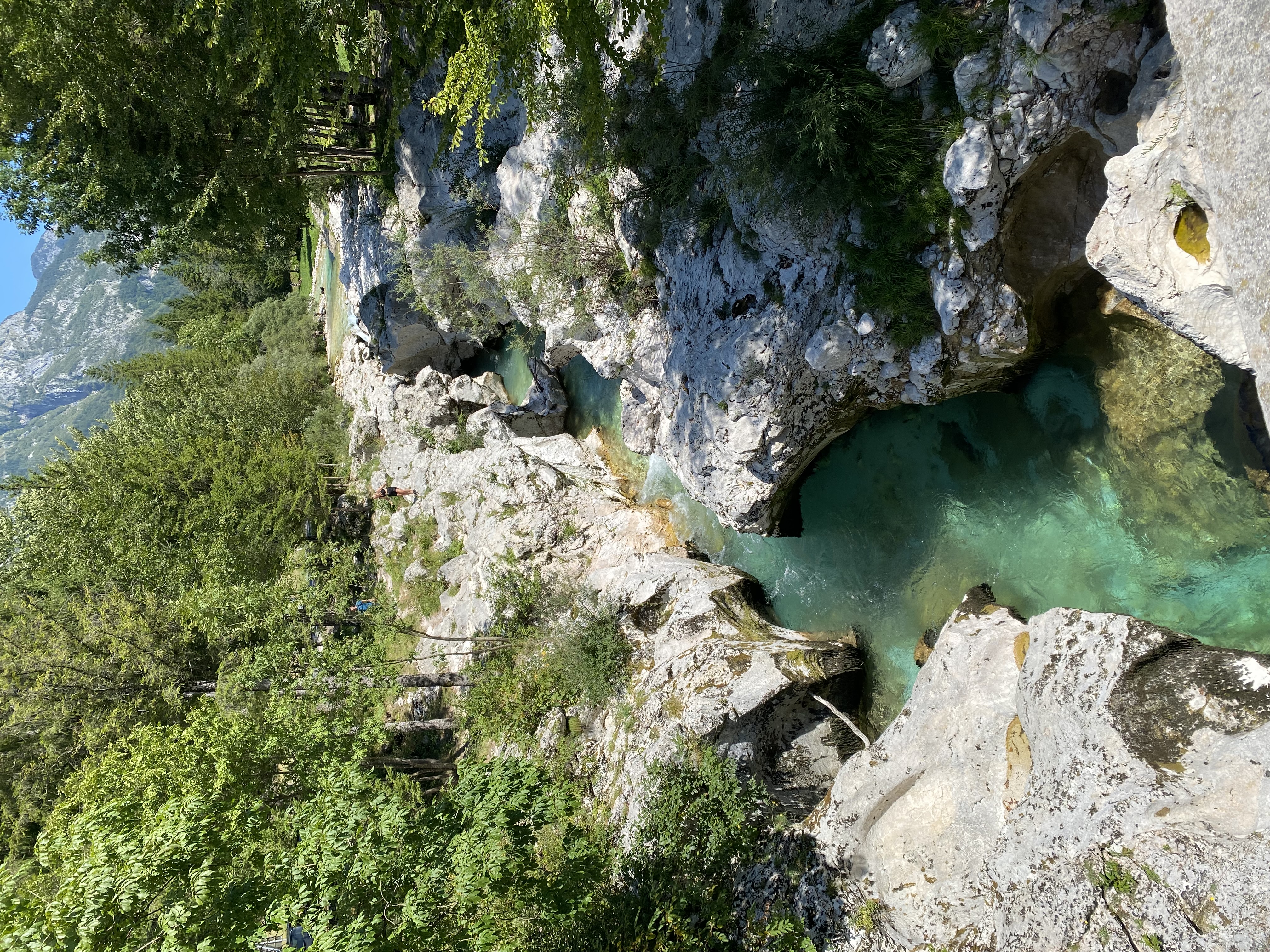
In einer großen Schlaufe wird der Itonskopf in verschiedenen Streckenbeschaffenheiten umrundet. Diese reichen von der geschotterten Straße in der bergauf Passage bis hin zu einer herrlichen Singletrailabfahrt.
- -:--
- Duration
- 24.4 km
- Distance
- 1,319 m
- Ascent
- 916 m
- Descent
- ---
- Avg. speed
- 1,802 m
- Max. altitude
Route quality
Waytypes & surfaces along the route
Waytypes
Track
11.2 km
(46 %)
Road
4.6 km
(19 %)
Surfaces
Paved
9.2 km
(37 %)
Unpaved
11 km
(45 %)
Gravel
11 km
(45 %)
Asphalt
9.2 km
(37 %)
Continue with Bikemap
Use, edit, or download this cycling route
You would like to ride Rund um den Itonskopf Tour or customize it for your own trip? Here is what you can do with this Bikemap route:
Free features
- Save this route as favorite or in collections
- Copy & plan your own version of this route
- Sync your route with Garmin or Wahoo
Premium features
Free trial for 3 days, or one-time payment. More about Bikemap Premium.
- Navigate this route on iOS & Android
- Export a GPX / KML file of this route
- Create your custom printout (try it for free)
- Download this route for offline navigation
Discover more Premium features.
Get Bikemap PremiumFrom our community
Other popular routes starting in Schruns
 Tschagguns - Latschau - Vadans - Schruns
- Distance
- 24.6 km
- Ascent
- 984 m
- Descent
- 986 m
- Location
- Schruns, Vorarlberg, Austria
 Vandans - Schweizer Tor - Lindauer Hütte
- Distance
- 35.4 km
- Ascent
- 1,680 m
- Descent
- 1,687 m
- Location
- Schruns, Vorarlberg, Austria
 M3 - extrem Montafon Mountainbike Marathon // Teilstrecken nur am Renntag befahrbar!
- Distance
- 134.5 km
- Ascent
- 4,344 m
- Descent
- 4,342 m
- Location
- Schruns, Vorarlberg, Austria
 Silvretta-Hochalpenstraße und Arlbergpaß RR
- Distance
- 138.8 km
- Ascent
- 2,371 m
- Descent
- 2,371 m
- Location
- Schruns, Vorarlberg, Austria
 schruns partenen heilbronner hütte silbertal schruns
- Distance
- 75.8 km
- Ascent
- 2,255 m
- Descent
- 2,258 m
- Location
- Schruns, Vorarlberg, Austria
 MeHC 2023
- Distance
- 9.9 km
- Ascent
- 1,174 m
- Descent
- 6 m
- Location
- Schruns, Vorarlberg, Austria
 Rund um den Itonskopf Tour
- Distance
- 24.4 km
- Ascent
- 1,319 m
- Descent
- 916 m
- Location
- Schruns, Vorarlberg, Austria
 Mein erster Alpenpass vom 17. August 2017
- Distance
- 157.3 km
- Ascent
- 4,742 m
- Descent
- 4,730 m
- Location
- Schruns, Vorarlberg, Austria
Open it in the app