Kaproun 03
- 45.7 km
- 483 m
- 483 m
- Kunžak, Jihočeský kraj, Czechia
A cycling route starting in Kunžak, Jihočeský kraj, Czechia.
Overview
20.7.2010
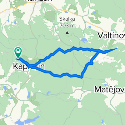
KAPROUN – KUNŽAK – MOSTY – SUCHDOL – OLŠANY – MARŠOV – BRANDLÍN – VELKÁ LHOTA - ŘEČICE - MYSLETICE – HORNÍ MYSLOVÁ - TELČ
Kaproun – on the road – uphill – Vysoký kámen – route along the red – descent through the valley – Kunžak – right along the road – Lány – Mosty – left – field path – along the blue – pasture – ascent – balancing stone in the hills – descent – Suchdol – along the blue – Olšany – through the field – along the blue – Maršov – path through the field – corn – Klepák Mill – along the blue – Brandlín – road – ascent – Velká Lhota – road – Řečice – Mysletice – on the road – Horní Myslová - Telč
created this 14 years ago
Route quality
Road
8.4 km
(26 %)
Track
8.4 km
(26 %)
Paved
8.4 km
(26 %)
Unpaved
8.7 km
(27 %)
Asphalt
6.5 km
(20 %)
Unpaved (undefined)
6.5 km
(20 %)
Continue with Bikemap
You would like to ride Kaproun 02 or customize it for your own trip? Here is what you can do with this Bikemap route:
Free trial for 3 days, or one-time payment. More about Bikemap Premium.
Discover more Premium features.
Get Bikemap PremiumFrom our community
Open it in the app