

epin-nancy
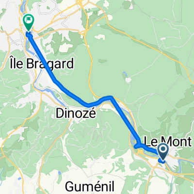
A cycling route starting in Arches, Grand Est, France.
Overview
About this route
- 5 h 10 min
- Duration
- 88.7 km
- Distance
- 317 m
- Ascent
- 449 m
- Descent
- 17.2 km/h
- Avg. speed
- 378 m
- Max. altitude
Route quality
Waytypes & surfaces along the route
Waytypes
Path
43.5 km
(49 %)
Access road
24.8 km
(28 %)
Surfaces
Paved
73.7 km
(83 %)
Unpaved
4.4 km
(5 %)
Asphalt
72.8 km
(82 %)
Loose gravel
4.4 km
(5 %)
Continue with Bikemap
Use, edit, or download this cycling route
You would like to ride epin-nancy or customize it for your own trip? Here is what you can do with this Bikemap route:
Free features
- Save this route as favorite or in collections
- Copy & plan your own version of this route
- Split it into stages to create a multi-day tour
- Sync your route with Garmin or Wahoo
Premium features
Free trial for 3 days, or one-time payment. More about Bikemap Premium.
- Navigate this route on iOS & Android
- Export a GPX / KML file of this route
- Create your custom printout (try it for free)
- Download this route for offline navigation
Discover more Premium features.
Get Bikemap PremiumFrom our community
Other popular routes starting in Arches
 De Route d'Epinal 7, Arches à Rue d'Epinal 13, Arches
- Distance
- 32.5 km
- Ascent
- 779 m
- Descent
- 776 m
- Location
- Arches, Grand Est, France
 Ruhige Route
- Distance
- 11.3 km
- Ascent
- 167 m
- Descent
- 254 m
- Location
- Arches, Grand Est, France
 epin-nancy
- Distance
- 88.7 km
- Ascent
- 317 m
- Descent
- 449 m
- Location
- Arches, Grand Est, France
 Unnamed Road, Arches to Rue de la Gare 835, Pouxeux
- Distance
- 7.2 km
- Ascent
- 20 m
- Descent
- 45 m
- Location
- Arches, Grand Est, France
 Itinéraire facile en Épinal
- Distance
- 10.5 km
- Ascent
- 299 m
- Descent
- 319 m
- Location
- Arches, Grand Est, France
Open it in the app