Ardeluta & DF Tarcuta
- 107.2 km
- 608 m
- 609 m
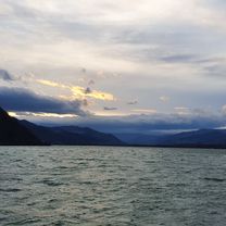
- Văleni, Neamț County, Romania
A cycling route starting in Văleni, Neamț County, Romania.
Overview
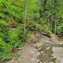
Drumul e ok, doar cu mentiunea ca exista posibilitatea de a intalni ursi! Sursa de apa la baraj.
created this 14 years ago
Route quality
Quiet road
8 km
(47 %)
Track
4.3 km
(25 %)
Paved
10.9 km
(64 %)
Unpaved
5.6 km
(33 %)
Asphalt
10.9 km
(64 %)
Gravel
5.4 km
(32 %)
Continue with Bikemap
You would like to ride Agarcia or customize it for your own trip? Here is what you can do with this Bikemap route:
Free trial for 3 days, or one-time payment. More about Bikemap Premium.
Discover more Premium features.
Get Bikemap PremiumFrom our community
Open it in the app