
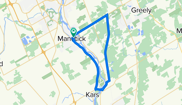
Manotick - Osgoode Pathway Loop
A cycling route starting in Bells Corners, Ontario, Canada.
Overview
About this route
The Osgoode Trail portion of this loop is great! If you aren't used to riding on a fairly busy highway, the highway going North East from Manotick (before turning south) and then again after turning off the pathway onto highway 6 (before turning North onto River Road) is not a lot of fun. The best parts of this loop are the town of Manotick (Mill! Pub!), the Miller's Farm, and the Osgoode Link Pathway.
- -:--
- Duration
- 27.4 km
- Distance
- 162 m
- Ascent
- 163 m
- Descent
- ---
- Avg. speed
- 104 m
- Max. altitude
Route quality
Waytypes & surfaces along the route
Waytypes
Busy road
20.1 km
(73 %)
Cycleway
3.3 km
(12 %)
Surfaces
Paved
23.2 km
(85 %)
Unpaved
3.5 km
(13 %)
Asphalt
23.2 km
(85 %)
Loose gravel
3.5 km
(13 %)
Continue with Bikemap
Use, edit, or download this cycling route
You would like to ride Manotick - Osgoode Pathway Loop or customize it for your own trip? Here is what you can do with this Bikemap route:
Free features
- Save this route as favorite or in collections
- Copy & plan your own version of this route
- Sync your route with Garmin or Wahoo
Premium features
Free trial for 3 days, or one-time payment. More about Bikemap Premium.
- Navigate this route on iOS & Android
- Export a GPX / KML file of this route
- Create your custom printout (try it for free)
- Download this route for offline navigation
Discover more Premium features.
Get Bikemap PremiumFrom our community
Other popular routes starting in Bells Corners
 Rosehill Avenue- Old carp Road-Carp
- Distance
- 41.5 km
- Ascent
- 128 m
- Descent
- 131 m
- Location
- Bells Corners, Ontario, Canada
 Cyclemania - Tuesday Night Ride
- Distance
- 34 km
- Ascent
- 51 m
- Descent
- 53 m
- Location
- Bells Corners, Ontario, Canada
 From Kanata to Nepean
- Distance
- 9.6 km
- Ascent
- 16 m
- Descent
- 52 m
- Location
- Bells Corners, Ontario, Canada
 Greenbelt loop
- Distance
- 19.2 km
- Ascent
- 89 m
- Descent
- 63 m
- Location
- Bells Corners, Ontario, Canada
 kanata trail
- Distance
- 13.6 km
- Ascent
- 12 m
- Descent
- 12 m
- Location
- Bells Corners, Ontario, Canada
 30km scenic
- Distance
- 29.8 km
- Ascent
- 88 m
- Descent
- 87 m
- Location
- Bells Corners, Ontario, Canada
 147–199 Oldfield St, Ottawa to 143 Oldfield St, Ottawa
- Distance
- 16.2 km
- Ascent
- 119 m
- Descent
- 120 m
- Location
- Bells Corners, Ontario, Canada
 Britannia Pinks Hartwells Pinecrest Britannia
- Distance
- 57 km
- Ascent
- 192 m
- Descent
- 191 m
- Location
- Bells Corners, Ontario, Canada
Open it in the app