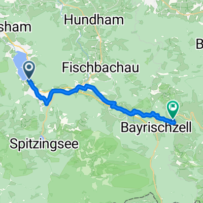
- 21.8 km
- 187 m
- 325 m
- Schliersee, Bavaria, Germany
Schliersee - ideale Schwimmstrecke
A cycling route starting in Schliersee, Bavaria, Germany.
Overview
About this route
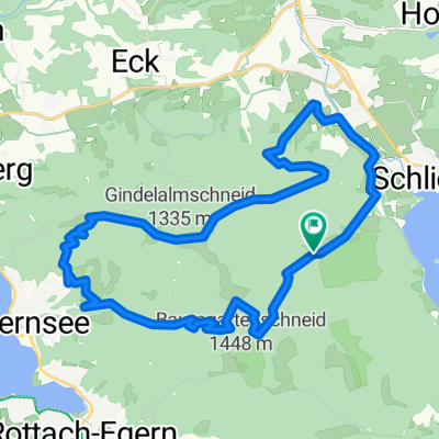
To ensure that after cycling and running not only the legs have done their part, the arms should not be neglected either. Always nicely stretched while doing a relaxed crawl, once to the island and back. Don't worry, you can't drown that quickly, as the lake is 40 meters deep at its deepest point and can be crossed on foot, which is why I checked 'unpaved path' ;-) I haven't tried yet if you can ride a mountain bike underwater.
- -:--
- Duration
- 2.2 km
- Distance
- 0 m
- Ascent
- 0 m
- Descent
- ---
- Avg. speed
- ---
- Max. altitude
created this 18 years ago
Continue with Bikemap
Use, edit, or download this cycling route
You would like to ride Schliersee - ideale Schwimmstrecke or customize it for your own trip? Here is what you can do with this Bikemap route:
Free features
- Save this route as favorite or in collections
- Copy & plan your own version of this route
- Sync your route with Garmin or Wahoo
Premium features
Free trial for 3 days, or one-time payment. More about Bikemap Premium.
- Navigate this route on iOS & Android
- Export a GPX / KML file of this route
- Create your custom printout (try it for free)
- Download this route for offline navigation
Discover more Premium features.
Get Bikemap PremiumFrom our community
Other popular routes starting in Schliersee
- valley - Schliersee
- 3-Seen Runde über den Wallberg
- 53.2 km
- 1,499 m
- 1,501 m
- Schliersee, Bavaria, Germany
- Schliersee - Traunstein
- 110.5 km
- 1,192 m
- 1,416 m
- Schliersee, Bavaria, Germany
- Schliersee - Rohnberg - Neuhaus
- 29.5 km
- 1,140 m
- 1,144 m
- Schliersee, Bavaria, Germany
- From Schliersee to Bayrischzell
- 18.3 km
- 583 m
- 260 m
- Schliersee, Bavaria, Germany
- Schliersee - Tegernsee
- 23.2 km
- 925 m
- 925 m
- Schliersee, Bavaria, Germany
- Route in Schliersee
- 44.7 km
- 1,286 m
- 1,288 m
- Schliersee, Bavaria, Germany
- Wörnsmühle Auerberg Rundtour
- 18.5 km
- 478 m
- 478 m
- Schliersee, Bavaria, Germany
Open it in the app


