

Canal du midi day 1
- 92.5 km
- 148 m
- 167 m
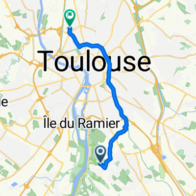
- Ramonville-Saint-Agne, Occitanie, France
A cycling route starting in Ramonville-Saint-Agne, Occitanie, France.
Overview
created this 3 years ago
Route quality
Quiet road
2 km
(22 %)
Road
1.5 km
(17 %)
Paved
8.8 km
(97 %)
Asphalt
8.3 km
(91 %)
Concrete
0.5 km
(6 %)
Undefined
0.3 km
(3 %)
Continue with Bikemap
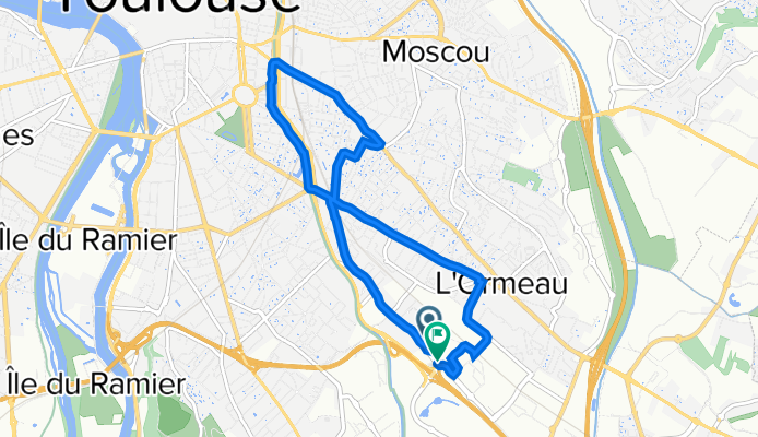
You would like to ride 153 bis Avenue de Lespinet, Toulouse à Avenue de Lespinet, Toulouse or customize it for your own trip? Here is what you can do with this Bikemap route:
Free trial for 3 days, or one-time payment. More about Bikemap Premium.
Discover more Premium features.
Get Bikemap PremiumFrom our community
Open it in the app