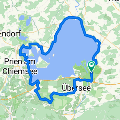
Seebruck - Traunstein - Inzell - Reit im Winkl
- 135.6 km
- 806 m
- 800 m
- Grabenstätt, Bavaria, Germany
Long-distance ride through the Chiemgau following the German Alpine Road with a detour to Winklmoosalm<br />
It goes without saying that on this touristically shaped passage, one unfortunately has to expect a lot of traffic. However, it is often possible to divert to bike paths or quiet side roads, so the disruptions can be kept within manageable limits.
While the terrain near Chiemsee is still gently undulating, it becomes "grim" starting at Siegsdorf: the ascents become more frequent, longer, and harder. The absolute highlights can then be considered the approximately 3 kilometers of "mountain classification" up to Winklmoosalm (initially up to 20% gradient) and the short pass over to Schleching.
On the return trip to Seebruck, starting from Grassau, the western Chiemsee half can alternatively be chosen for a loop. The total length of the tour is thereby increased a bit more.
Conclusion: a long, intense, and particularly impressive cycling tourism long-distance ride with the potential to become an absolute "classic"!
Quiet road
32.6 km24 %Road
20.3 km15 %Paved
122.1 km(90 %)Unpaved
9.5 km(7 %)Asphalt
122.1 km90 %Gravel
8.1 km6 %Free trial for 3 days, or one-time payment. More about Bikemap Premium.
Discover more Premium features.
Get Bikemap PremiumOpen it in the app