Argenteuil - Rambouillet - Argenteuil
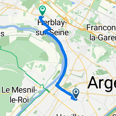
A cycling route starting in Sartrouville, ÃŽle-de-France Region, France.
Overview
About this route
Round trip via the same route:
Argenteuil - Rambouillet (123 km)
Difficulties Outbound: Climbs of Saint-Cloud, Ville-d'Avray, Picardie hill... a long nice climb after Chevreuse.
Difficulties Return: The two climbs of Saint-Rémy Lès-Cheuvreuse (2 x 2 km at 15-25%) :-))
- -:--
- Duration
- 75.3 km
- Distance
- 462 m
- Ascent
- 358 m
- Descent
- ---
- Avg. speed
- ---
- Max. altitude
Route quality
Waytypes & surfaces along the route
Waytypes
Quiet road
11.3 km
(15 %)
Road
3.8 km
(5 %)
Surfaces
Paved
53.5 km
(71 %)
Asphalt
52.7 km
(70 %)
Concrete
0.8 km
(1 %)
Undefined
21.9 km
(29 %)
Continue with Bikemap
Use, edit, or download this cycling route
You would like to ride Argenteuil - Rambouillet - Argenteuil or customize it for your own trip? Here is what you can do with this Bikemap route:
Free features
- Save this route as favorite or in collections
- Copy & plan your own version of this route
- Sync your route with Garmin or Wahoo
Premium features
Free trial for 3 days, or one-time payment. More about Bikemap Premium.
- Navigate this route on iOS & Android
- Export a GPX / KML file of this route
- Create your custom printout (try it for free)
- Download this route for offline navigation
Discover more Premium features.
Get Bikemap PremiumFrom our community
Other popular routes starting in Sartrouville
Promenade Dominicale- Distance
- 68.8 km
- Ascent
- 304 m
- Descent
- 304 m
- Location
- Sartrouville, ÃŽle-de-France Region, France
Sartrouville - Versailles- Distance
- 47.2 km
- Ascent
- 393 m
- Descent
- 393 m
- Location
- Sartrouville, ÃŽle-de-France Region, France
Ceinture de PARIS- Distance
- 57.6 km
- Ascent
- 224 m
- Descent
- 225 m
- Location
- Sartrouville, ÃŽle-de-France Region, France
conflans/triel/auvers/sartrouville- Distance
- 76.1 km
- Ascent
- 2,775 m
- Descent
- 2,760 m
- Location
- Sartrouville, ÃŽle-de-France Region, France
Argenteuil - Senlis - Argenteuil- Distance
- 106.7 km
- Ascent
- 526 m
- Descent
- 526 m
- Location
- Sartrouville, ÃŽle-de-France Region, France
Primer recorrido- Distance
- 36.8 km
- Ascent
- 113 m
- Descent
- 120 m
- Location
- Sartrouville, ÃŽle-de-France Region, France
Tour du dimanche- Distance
- 36.4 km
- Ascent
- 122 m
- Descent
- 122 m
- Location
- Sartrouville, ÃŽle-de-France Region, France
Argenteuil- Mantes la Jolie - Thoiry - Argenteuil- Distance
- 102.2 km
- Ascent
- 485 m
- Descent
- 485 m
- Location
- Sartrouville, ÃŽle-de-France Region, France
Open it in the app


