

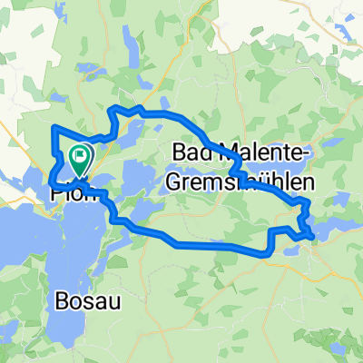
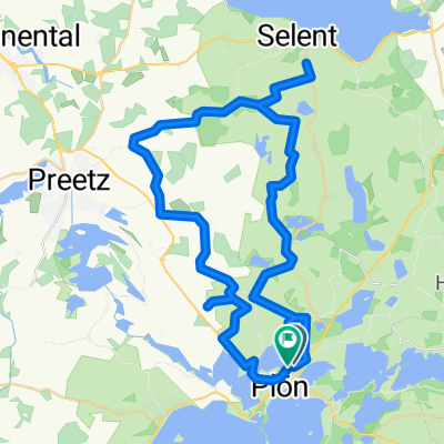
Behl-Benz-Kaköhl-Hohwacht-Rantzau
A cycling route starting in Plön, Schleswig-Holstein, Germany.
Overview
About this route
-you can almost always ride on the road
-shortly before Sieversdorf, there is a long descent. unfortunately, you have to brake before the village street
-behind Benz, the asphalt is poor
-use the bike path on the L178
-behind Kaköhl, there is no bike path from the Sehlendorf junction, so you have to push through to Hohwacht (first downhill, then longer uphill)
-in Kembs, there is a curve of about 160 degrees
-behind Emkendorf, there is a steep ramp
-on L165, use the bike path again
-before Rantzau, the road is partly just for tractors (good asphalt), turn right in the descent before the B430
-and then just back on the bike path to Plön
-it should all be well signposted in the villages, just have to be careful ;)
- -:--
- Duration
- 80.1 km
- Distance
- 335 m
- Ascent
- 334 m
- Descent
- ---
- Avg. speed
- ---
- Max. altitude
Route quality
Waytypes & surfaces along the route
Waytypes
Quiet road
36.1 km
(45 %)
Road
20.8 km
(26 %)
Surfaces
Paved
49.7 km
(62 %)
Asphalt
48.9 km
(61 %)
Paved (undefined)
0.8 km
(1 %)
Undefined
30.4 km
(38 %)
Continue with Bikemap
Use, edit, or download this cycling route
You would like to ride Behl-Benz-Kaköhl-Hohwacht-Rantzau or customize it for your own trip? Here is what you can do with this Bikemap route:
Free features
- Save this route as favorite or in collections
- Copy & plan your own version of this route
- Split it into stages to create a multi-day tour
- Sync your route with Garmin or Wahoo
Premium features
Free trial for 3 days, or one-time payment. More about Bikemap Premium.
- Navigate this route on iOS & Android
- Export a GPX / KML file of this route
- Create your custom printout (try it for free)
- Download this route for offline navigation
Discover more Premium features.
Get Bikemap PremiumFrom our community
Other popular routes starting in Plön
 Vogelberg - Eutin & zurück
- Distance
- 47.2 km
- Ascent
- 436 m
- Descent
- 438 m
- Location
- Plön, Schleswig-Holstein, Germany
 Plöner Seen Tour
- Distance
- 67.4 km
- Ascent
- 239 m
- Descent
- 239 m
- Location
- Plön, Schleswig-Holstein, Germany
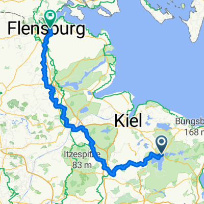 Von Plön bis Flensburg
- Distance
- 179 km
- Ascent
- 428 m
- Descent
- 418 m
- Location
- Plön, Schleswig-Holstein, Germany
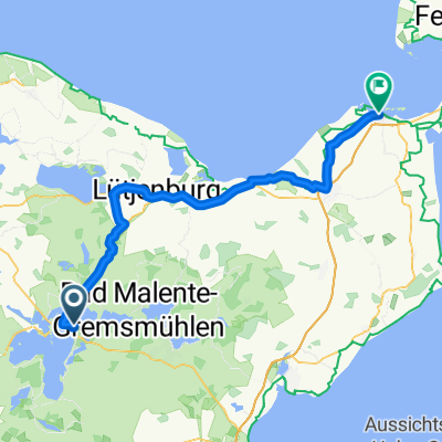 Von Plön bis Heiligenhafen
- Distance
- 60.2 km
- Ascent
- 338 m
- Descent
- 366 m
- Location
- Plön, Schleswig-Holstein, Germany
 Plöner-See-Tour
- Distance
- 41.1 km
- Ascent
- 325 m
- Descent
- 325 m
- Location
- Plön, Schleswig-Holstein, Germany
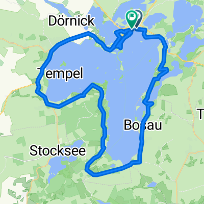
 Großer Plöner See
- Distance
- 37.2 km
- Ascent
- 203 m
- Descent
- 217 m
- Location
- Plön, Schleswig-Holstein, Germany
 Plöner Seen Tour 70km
- Distance
- 69.1 km
- Ascent
- 464 m
- Descent
- 456 m
- Location
- Plön, Schleswig-Holstein, Germany
 Nördlich von Plön
- Distance
- 50.5 km
- Ascent
- 257 m
- Descent
- 261 m
- Location
- Plön, Schleswig-Holstein, Germany
Open it in the app