

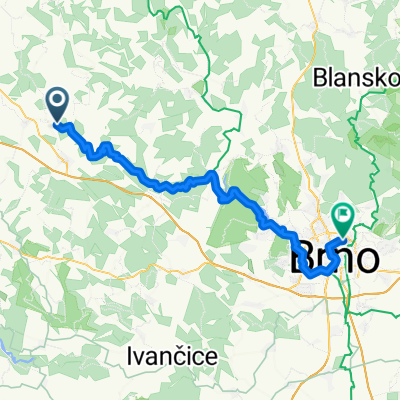
Bílý potok-Vlkov u Tišnova
A cycling route starting in Velká Bíteš, Kraj Vysočina, Czechia.
Overview
About this route
- 5 h 46 min
- Duration
- 51.8 km
- Distance
- 485 m
- Ascent
- 743 m
- Descent
- 9 km/h
- Avg. speed
- 512 m
- Max. altitude

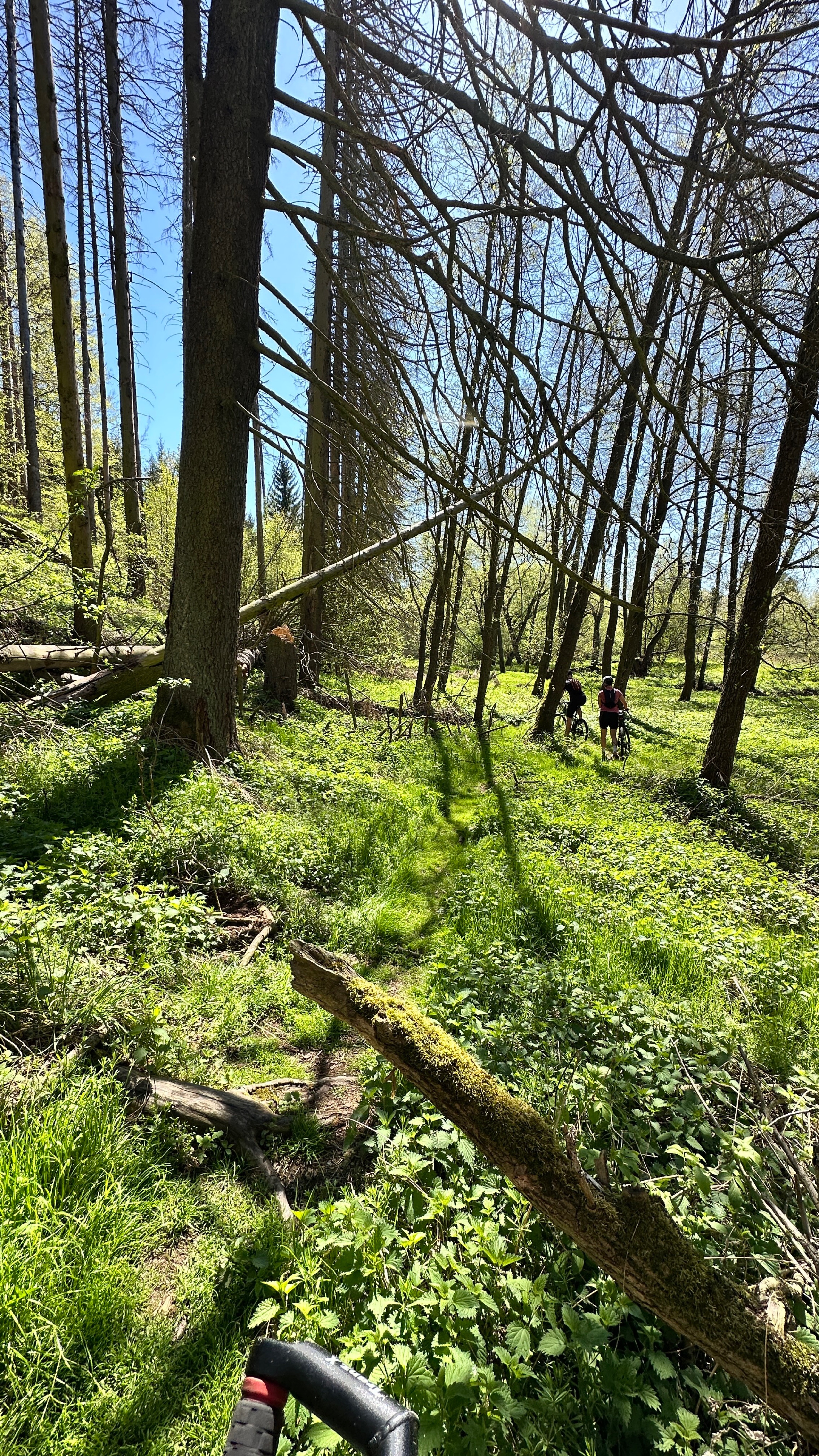
Route photos


Route quality
Waytypes & surfaces along the route
Waytypes
Track
24.4 km
(47 %)
Quiet road
6.7 km
(13 %)
Surfaces
Paved
23.3 km
(45 %)
Unpaved
17.1 km
(33 %)
Asphalt
20.7 km
(40 %)
Ground
9.3 km
(18 %)
Continue with Bikemap
Use, edit, or download this cycling route
You would like to ride Bílý potok-Vlkov u Tišnova or customize it for your own trip? Here is what you can do with this Bikemap route:
Free features
- Save this route as favorite or in collections
- Copy & plan your own version of this route
- Sync your route with Garmin or Wahoo
Premium features
Free trial for 3 days, or one-time payment. More about Bikemap Premium.
- Navigate this route on iOS & Android
- Export a GPX / KML file of this route
- Create your custom printout (try it for free)
- Download this route for offline navigation
Discover more Premium features.
Get Bikemap PremiumFrom our community
Other popular routes starting in Velká Bíteš
 2014_11 Bílý potok pěšky
- Distance
- 34.7 km
- Ascent
- 707 m
- Descent
- 880 m
- Location
- Velká Bíteš, Kraj Vysočina, Czechia
 Údolím Bílého potoka. Vlkov - Šmelcovna - parník
- Distance
- 29.1 km
- Ascent
- 485 m
- Descent
- 732 m
- Location
- Velká Bíteš, Kraj Vysočina, Czechia
 bily potok ptacek crew
- Distance
- 41.3 km
- Ascent
- 878 m
- Descent
- 1,045 m
- Location
- Velká Bíteš, Kraj Vysočina, Czechia
 Bílý potok - Vlkov - Brno
- Distance
- 52.9 km
- Ascent
- 231 m
- Descent
- 494 m
- Location
- Velká Bíteš, Kraj Vysočina, Czechia
 Okolo vody a Náměště
- Distance
- 66.3 km
- Ascent
- 588 m
- Descent
- 591 m
- Location
- Velká Bíteš, Kraj Vysočina, Czechia
 Bílý potok-Vlkov u Tišnova
- Distance
- 51.8 km
- Ascent
- 485 m
- Descent
- 743 m
- Location
- Velká Bíteš, Kraj Vysočina, Czechia
 Velká Bíteš Radfahren
- Distance
- 62.3 km
- Ascent
- 883 m
- Descent
- 875 m
- Location
- Velká Bíteš, Kraj Vysočina, Czechia
 Uvolněná trasa
- Distance
- 12.6 km
- Ascent
- 245 m
- Descent
- 232 m
- Location
- Velká Bíteš, Kraj Vysočina, Czechia
Open it in the app