

Nezdice na Šumavě (okolí_1)
A cycling route starting in Kašperské Hory, Plzeň Region, Czechia.
Overview
About this route
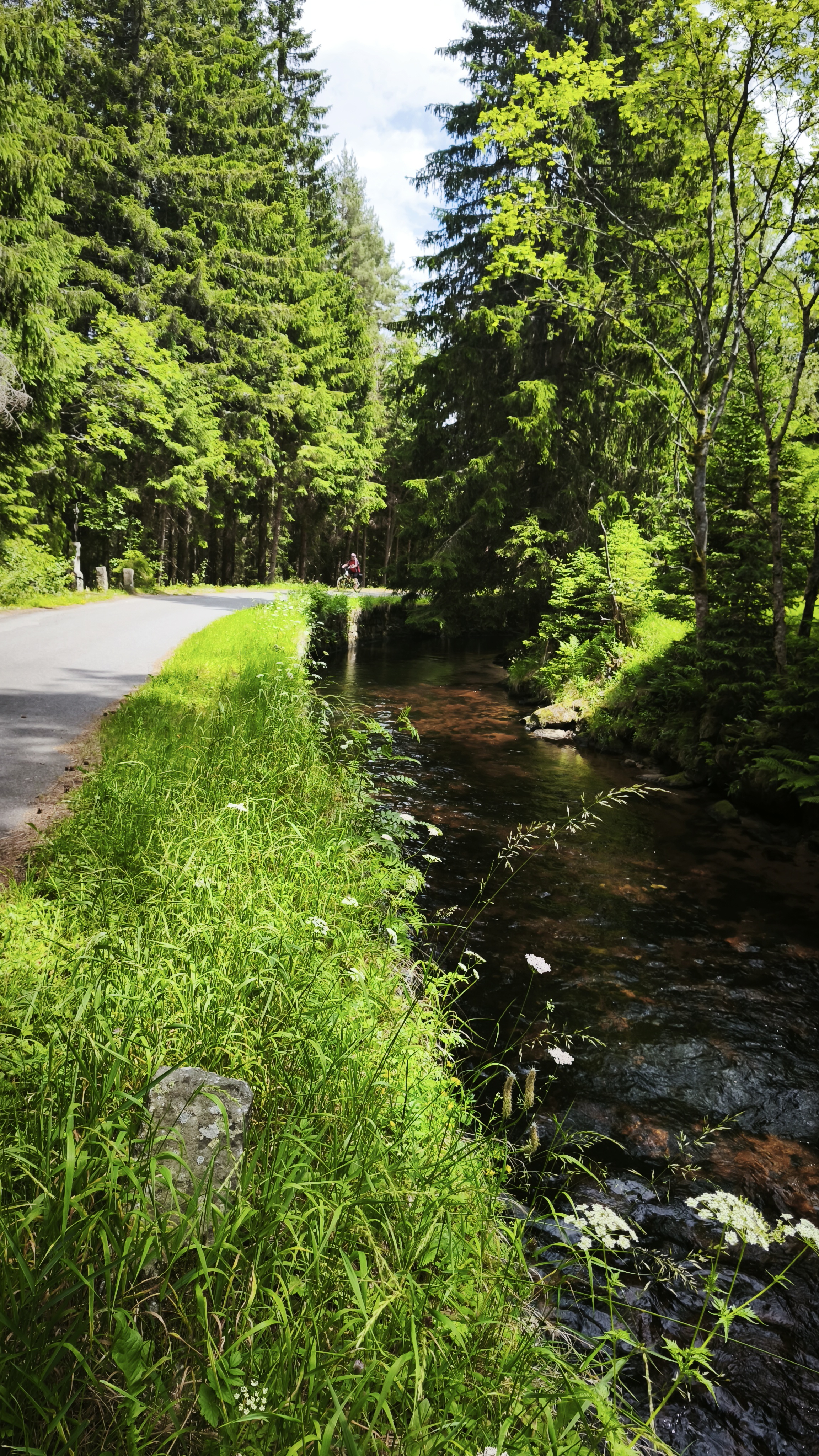
Nezdice n.Š. - Strašín - Lazny - Pohorsko - Ostružno - Nezdice n.Š.
Easy route, suitable for scooter as well
- -:--
- Duration
- 13.4 km
- Distance
- 379 m
- Ascent
- 377 m
- Descent
- ---
- Avg. speed
- ---
- Max. altitude
Route highlights
Points of interest along the route
\"")
Point of interest after 0.1 km
Nezdice na Šumavě, kaplička
\"")
Point of interest after 2.9 km
Strašín, kostel
\"")
Point of interest after 4.4 km
tele
\"")
Point of interest after 5.2 km
Pohorsko, bývalý hostinec
\"")
Point of interest after 8.5 km
Cesta z Pohorska
\"")
Point of interest after 11.4 km
Ostružno, chalupa na návsi
Continue with Bikemap
Use, edit, or download this cycling route
You would like to ride Nezdice na Šumavě (okolí_1) or customize it for your own trip? Here is what you can do with this Bikemap route:
Free features
- Save this route as favorite or in collections
- Copy & plan your own version of this route
- Sync your route with Garmin or Wahoo
Premium features
Free trial for 3 days, or one-time payment. More about Bikemap Premium.
- Navigate this route on iOS & Android
- Export a GPX / KML file of this route
- Create your custom printout (try it for free)
- Download this route for offline navigation
Discover more Premium features.
Get Bikemap PremiumFrom our community
Other popular routes starting in Kašperské Hory
 Kašperské Hory, Řetenice - Král Šumavy
- Distance
- 10.1 km
- Ascent
- 405 m
- Descent
- 86 m
- Location
- Kašperské Hory, Plzeň Region, Czechia
 2010-Tag22: Antygl-Stozec
- Distance
- 60.4 km
- Ascent
- 484 m
- Descent
- 635 m
- Location
- Kašperské Hory, Plzeň Region, Czechia
 Srní - Pramen Vltavy - Kvilda
- Distance
- 50.5 km
- Ascent
- 781 m
- Descent
- 813 m
- Location
- Kašperské Hory, Plzeň Region, Czechia
 Srní - Poledník - Srní
- Distance
- 43.6 km
- Ascent
- 736 m
- Descent
- 685 m
- Location
- Kašperské Hory, Plzeň Region, Czechia
 Nezdice na Šumavě (okolí_1)
- Distance
- 13.4 km
- Ascent
- 379 m
- Descent
- 377 m
- Location
- Kašperské Hory, Plzeň Region, Czechia
 okruh ze Srní
- Distance
- 90.8 km
- Ascent
- 1,050 m
- Descent
- 1,053 m
- Location
- Kašperské Hory, Plzeň Region, Czechia
 Srní, Tříjezerní slať, Čeňkova pila, Modrava, Srní
- Distance
- 31.9 km
- Ascent
- 435 m
- Descent
- 484 m
- Location
- Kašperské Hory, Plzeň Region, Czechia
 Antygl - Trijezerni slat - Modrava - Antygl
- Distance
- 16.7 km
- Ascent
- 287 m
- Descent
- 287 m
- Location
- Kašperské Hory, Plzeň Region, Czechia
Open it in the app