
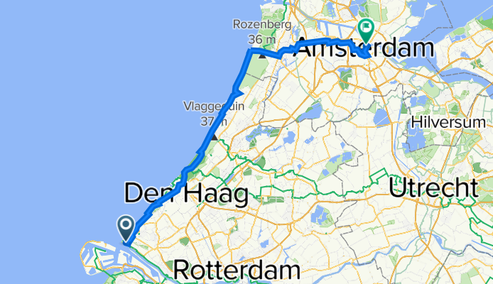
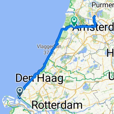
Paviljoensweg 2, Hoek van Holland to De Ruijterkade 66, Amsterdam
A cycling route starting in Hoek van Holland, South Holland, The Netherlands.
Overview
About this route
- 6 h 1 min
- Duration
- 95.4 km
- Distance
- 233 m
- Ascent
- 236 m
- Descent
- 15.9 km/h
- Avg. speed
- 20 m
- Max. altitude

Route quality
Waytypes & surfaces along the route
Waytypes
Cycleway
73.5 km
(77 %)
Quiet road
14.3 km
(15 %)
Surfaces
Paved
61.1 km
(64 %)
Unpaved
1.9 km
(2 %)
Asphalt
59.1 km
(62 %)
Loose gravel
1.9 km
(2 %)
Continue with Bikemap
Use, edit, or download this cycling route
You would like to ride Paviljoensweg 2, Hoek van Holland to De Ruijterkade 66, Amsterdam or customize it for your own trip? Here is what you can do with this Bikemap route:
Free features
- Save this route as favorite or in collections
- Copy & plan your own version of this route
- Split it into stages to create a multi-day tour
- Sync your route with Garmin or Wahoo
Premium features
Free trial for 3 days, or one-time payment. More about Bikemap Premium.
- Navigate this route on iOS & Android
- Export a GPX / KML file of this route
- Create your custom printout (try it for free)
- Download this route for offline navigation
Discover more Premium features.
Get Bikemap PremiumFrom our community
Other popular routes starting in Hoek van Holland
 spring break route 1
- Distance
- 930.9 km
- Ascent
- 2,258 m
- Descent
- 2,255 m
- Location
- Hoek van Holland, South Holland, The Netherlands
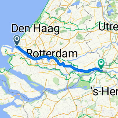 From Hoek van Holland to Drimmelen
- Distance
- 73.7 km
- Ascent
- 101 m
- Descent
- 101 m
- Location
- Hoek van Holland, South Holland, The Netherlands
 CYCLING THE RHINE: Route Approach D
- Distance
- 115.8 km
- Ascent
- 12 m
- Descent
- 13 m
- Location
- Hoek van Holland, South Holland, The Netherlands
 Periple 11 / 32
- Distance
- 161.8 km
- Ascent
- 98 m
- Descent
- 60 m
- Location
- Hoek van Holland, South Holland, The Netherlands
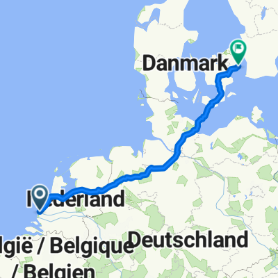
 Hoek van Holland nach Sassenheim
- Distance
- 58.8 km
- Ascent
- 144 m
- Descent
- 144 m
- Location
- Hoek van Holland, South Holland, The Netherlands
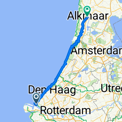 Hoek to Alkmaar
- Distance
- 112.8 km
- Ascent
- 252 m
- Descent
- 298 m
- Location
- Hoek van Holland, South Holland, The Netherlands
 Route from Zeekant, Hoek van Holland
- Distance
- 11.5 km
- Ascent
- 25 m
- Descent
- 22 m
- Location
- Hoek van Holland, South Holland, The Netherlands
 Hoek van Holland - Zaandam
- Distance
- 114.8 km
- Ascent
- 325 m
- Descent
- 322 m
- Location
- Hoek van Holland, South Holland, The Netherlands
Open it in the app