Exmoor Hills
- 143 km
- 2,048 m
- 2,087 m
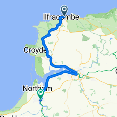
- Ilfracombe, England, United Kingdom
A cycling route starting in Ilfracombe, England, United Kingdom.
Overview
25.7.2011
created this 14 years ago
Route quality
Quiet road
1.2 km
(12 %)
Access road
0.3 km
(3 %)
Paved
8 km
(82 %)
Unpaved
0.2 km
(2 %)
Asphalt
8 km
(82 %)
Ground
0.2 km
(2 %)
Undefined
1.6 km
(16 %)
Route highlights
Zamknutí kol
Continue with Bikemap
You would like to ride 10.etapa Water Mouth - Ilfracombe a zpět or customize it for your own trip? Here is what you can do with this Bikemap route:
Free trial for 3 days, or one-time payment. More about Bikemap Premium.
Discover more Premium features.
Get Bikemap PremiumFrom our community
Open it in the app