tatry trophy wg furmana z rowerowanie pl
- 193.4 km
- 1,613 m
- 1,613 m
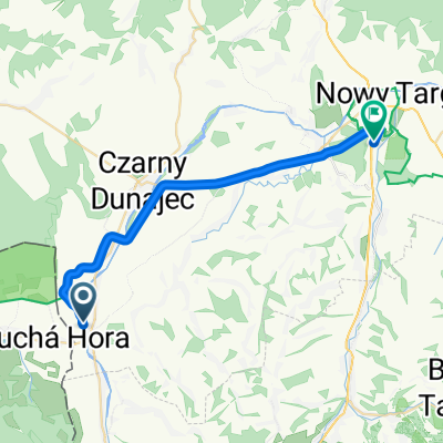
- Czarny Dunajec, Lesser Poland Voivodeship, Poland
A cycling route starting in Czarny Dunajec, Lesser Poland Voivodeship, Poland.
Overview
created this 3 years ago


Route quality
Cycleway
20.3 km
(81 %)
Quiet road
1.8 km
(7 %)
Paved
23.3 km
(93 %)
Asphalt
23.3 km
(93 %)
Undefined
1.8 km
(7 %)
Continue with Bikemap
You would like to ride Historicko-kultúrno-prírodná Cesta okolo Tatier, Suchá Hora do Rynek 33, Nowy Targ or customize it for your own trip? Here is what you can do with this Bikemap route:
Free trial for 3 days, or one-time payment. More about Bikemap Premium.
Discover more Premium features.
Get Bikemap PremiumFrom our community
Open it in the app