San Marcos a San Pablo
- 74.1 km
- 1,508 m
- 1,654 m
- Cayambe, Pichincha, Ecuador
A cycling route starting in Cayambe, Pichincha, Ecuador.
Overview
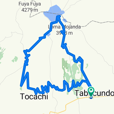
ROUTE: approx. 20 km. TERRAIN: 50% cobbled. 50% gravel. AVERAGE CYCLING TIME: 4 hours. TECHNICAL LEVEL: low. PHYSICAL LEVEL: low. CYCLABILITY: 100%. This route starts at Nudo del Cajas, continues through the Pijal Community, Gonzales Suarez where you can observe the work that the community members carry out with the Totora mainly for the construction of mats. The path goes along the western shore of Lake San Pablo from which you have a wonderful view. We continue and we have an ascent of 3 km to Parque Cóndor, which is a bird refuge where we will be able to observe different species of birds from the country and other parts of the world. We finish the route in the city of Otavalo.
created this 14 years ago
Continue with Bikemap
You would like to ride MTB - Lago San Pablo or customize it for your own trip? Here is what you can do with this Bikemap route:
Free trial for 3 days, or one-time payment. More about Bikemap Premium.
Discover more Premium features.
Get Bikemap PremiumFrom our community
Open it in the app