
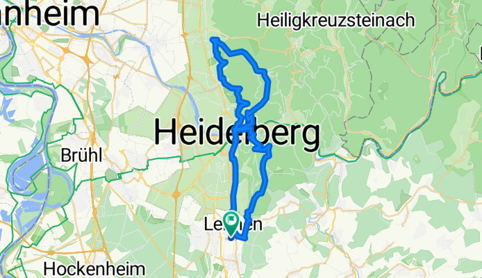
HD-Heilligenberg-Weisserstein-Strahlenburg-Koenigstuhl
A cycling route starting in Leimen, Baden-Wurttemberg, Germany.
Overview
About this route
Nette und anspruchsvolle 4 Stunden Tour in Heidelberg!
- -:--
- Duration
- 49.7 km
- Distance
- 1,306 m
- Ascent
- 1,303 m
- Descent
- ---
- Avg. speed
- ---
- Max. altitude

Continue with Bikemap
Use, edit, or download this cycling route
You would like to ride HD-Heilligenberg-Weisserstein-Strahlenburg-Koenigstuhl or customize it for your own trip? Here is what you can do with this Bikemap route:
Free features
- Save this route as favorite or in collections
- Copy & plan your own version of this route
- Sync your route with Garmin or Wahoo
Premium features
Free trial for 3 days, or one-time payment. More about Bikemap Premium.
- Navigate this route on iOS & Android
- Export a GPX / KML file of this route
- Create your custom printout (try it for free)
- Download this route for offline navigation
Discover more Premium features.
Get Bikemap PremiumFrom our community
Other popular routes starting in Leimen
 Leimen - Neckargemünd - Leimen
- Distance
- 37.5 km
- Ascent
- 746 m
- Descent
- 746 m
- Location
- Leimen, Baden-Wurttemberg, Germany
 Geocaching on a sunny Sunday
- Distance
- 10.3 km
- Ascent
- 286 m
- Descent
- 286 m
- Location
- Leimen, Baden-Wurttemberg, Germany
 Trekking_04.05.2014
- Distance
- 20.7 km
- Ascent
- 459 m
- Descent
- 456 m
- Location
- Leimen, Baden-Wurttemberg, Germany
 HD-Heilligenberg-Weisserstein-Strahlenburg-Koenigstuhl
- Distance
- 49.7 km
- Ascent
- 1,306 m
- Descent
- 1,303 m
- Location
- Leimen, Baden-Wurttemberg, Germany
 Leimen - Ziegelhausen - Leimen
- Distance
- 30.5 km
- Ascent
- 394 m
- Descent
- 388 m
- Location
- Leimen, Baden-Wurttemberg, Germany
 Apfel - Heddesbach - Brombach - Rothenberg - Beerfelden - Katzenbuckel - Neunkirchen - König
- Distance
- 143.7 km
- Ascent
- 2,013 m
- Descent
- 2,014 m
- Location
- Leimen, Baden-Wurttemberg, Germany
 Heidelberg-Katzenbuckel
- Distance
- 101 km
- Ascent
- 1,526 m
- Descent
- 1,526 m
- Location
- Leimen, Baden-Wurttemberg, Germany
 16. Heidelberg (D) - Altheim (D)
- Distance
- 90.7 km
- Ascent
- 692 m
- Descent
- 483 m
- Location
- Leimen, Baden-Wurttemberg, Germany
Open it in the app