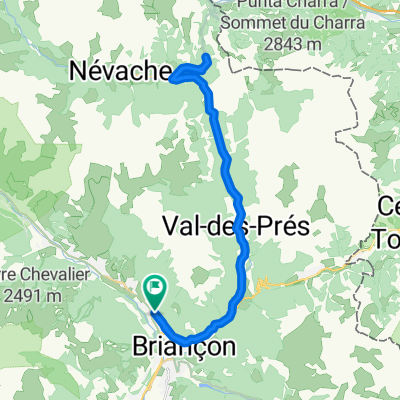
191013_Briancon_col_Echelle_3008
- 43.6 km
- 471 m
- 473 m
- Saint-Chaffrey, Provence-Alpes-Côte d'Azur Region, France
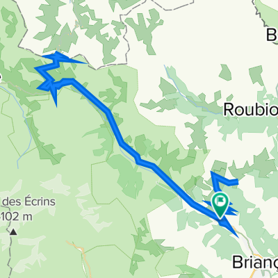
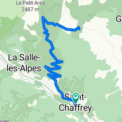
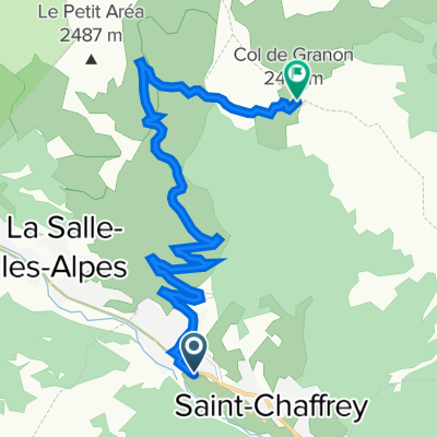
Ultra Gravel Tour des Alpes
A cycling route starting in Saint-Chaffrey, Provence-Alpes-Côte d'Azur Region, France.
Overview
created this 3 years ago
Part of
4 stages
Route quality
Track
28 km
(36 %)
Quiet road
10.1 km
(13 %)
Paved
40.4 km
(52 %)
Unpaved
27.2 km
(35 %)
Asphalt
39.6 km
(51 %)
Gravel
19.4 km
(25 %)
Continue with Bikemap
You would like to ride 4 Chantemerle - Modane or customize it for your own trip? Here is what you can do with this Bikemap route:
Free trial for 3 days, or one-time payment. More about Bikemap Premium.
Discover more Premium features.
Get Bikemap PremiumFrom our community
Open it in the app