IZ stille Wasser
- 58.6 km
- 105 m
- 105 m
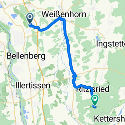
- Vöhringen, Bavaria, Germany
A cycling route starting in Vöhringen, Bavaria, Germany.
Overview
Nice route with some short but steep climbs
created this 14 years ago
Route quality
Road
20.8 km
(21 %)
Path
10.9 km
(11 %)
Paved
65.5 km
(66 %)
Unpaved
2 km
(2 %)
Asphalt
64.5 km
(65 %)
Paved (undefined)
1 km
(1 %)
Continue with Bikemap
You would like to ride Radtour durchs Iller-/Rißtal or customize it for your own trip? Here is what you can do with this Bikemap route:
Free trial for 3 days, or one-time payment. More about Bikemap Premium.
Discover more Premium features.
Get Bikemap PremiumFrom our community
Open it in the app