02 Gaskoňsko 2011 - Collonges la Rouge
- 46 km
- 655 m
- 581 m
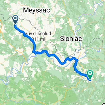
- Meyssac, Nouvelle-Aquitaine, France
A cycling route starting in Meyssac, Nouvelle-Aquitaine, France.
Overview
Circuit from the camping site du Moulin de la Valane in the town of Meyssac to the historic town of Beaulieu-sur-Dordogne with a stop at the castle of Curemonte. On the way, it is also worth visiting La Chapelle aux Saints.
created this 14 years ago
Route quality
Road
21.7 km
(42 %)
Quiet road
12.4 km
(24 %)
Paved
31.6 km
(61 %)
Unpaved
0.5 km
(1 %)
Asphalt
31.6 km
(61 %)
Ground
0.5 km
(1 %)
Undefined
19.7 km
(38 %)
Continue with Bikemap
You would like to ride 01 Gaskoňsko 2011 - Beaulieu sur Dordogne or customize it for your own trip? Here is what you can do with this Bikemap route:
Free trial for 3 days, or one-time payment. More about Bikemap Premium.
Discover more Premium features.
Get Bikemap PremiumFrom our community
Open it in the app