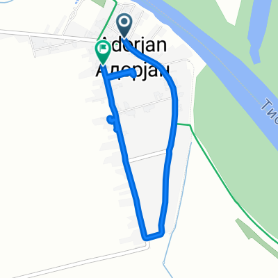
Útvonal ide: Ifjúság utca
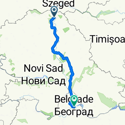
- 466 km
- 1,538 m
- 1,504 m
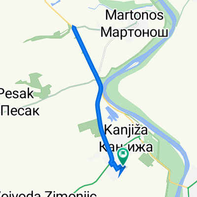
- Kanjiža, Vojvodina, Serbia
A cycling route starting in Kanjiža, Vojvodina, Serbia.
Overview
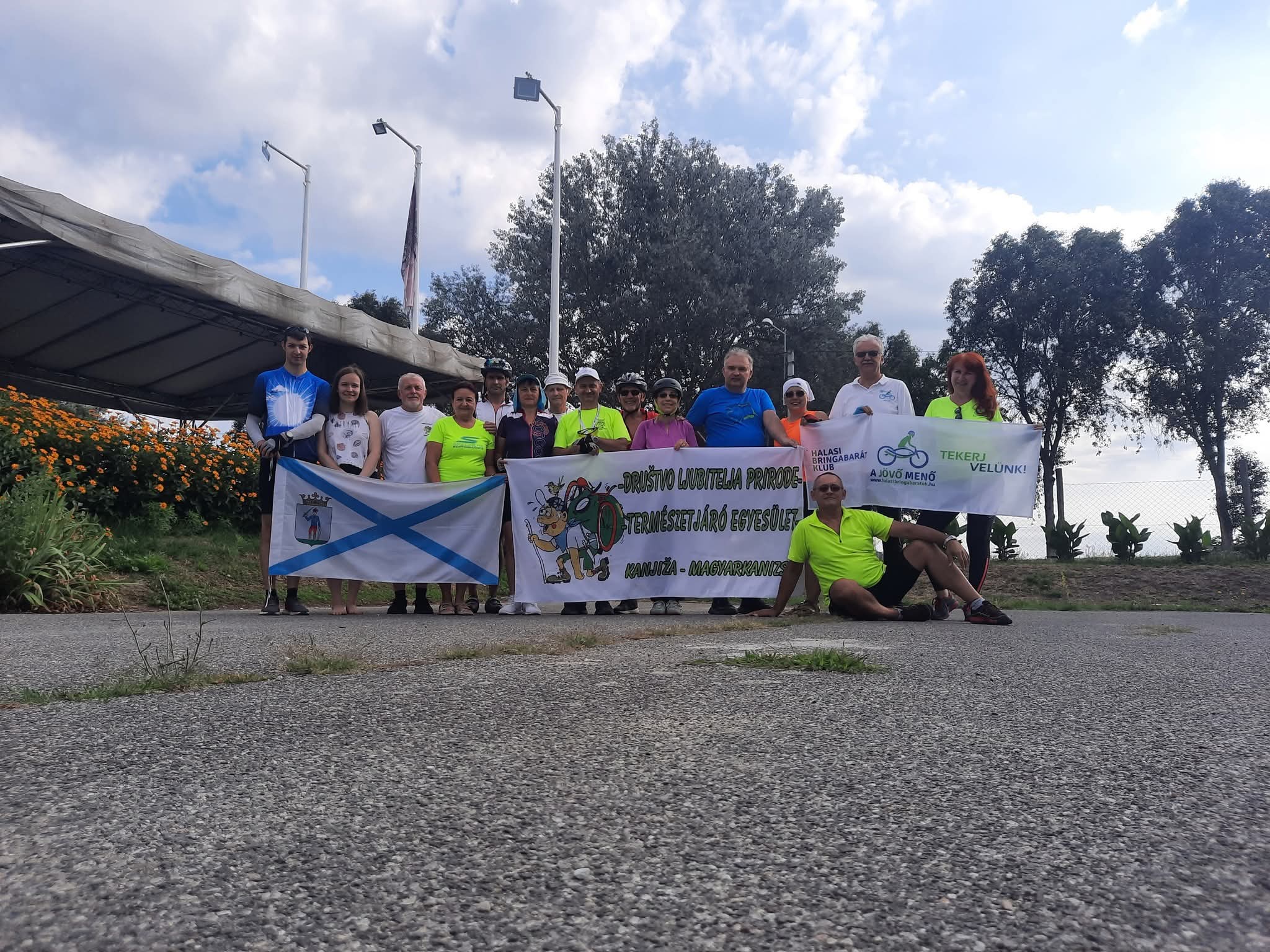
Tour of the Balkans, second day
Kanijza-Temerin
created this 14 years ago
Route quality
Track
22.1 km
(21 %)
Quiet road
15.8 km
(15 %)
Paved
40 km
(38 %)
Unpaved
1.1 km
(1 %)
Asphalt
35.8 km
(34 %)
Paved (undefined)
4.2 km
(4 %)
Continue with Bikemap
You would like to ride TdB, dzień 2 or customize it for your own trip? Here is what you can do with this Bikemap route:
Free trial for 3 days, or one-time payment. More about Bikemap Premium.
Discover more Premium features.
Get Bikemap PremiumFrom our community
Open it in the app