

Süntel-Weser-Tour - Süntel-Weser-Tour
A cycling route starting in Hamelin, Lower Saxony, Germany.
Overview
About this route
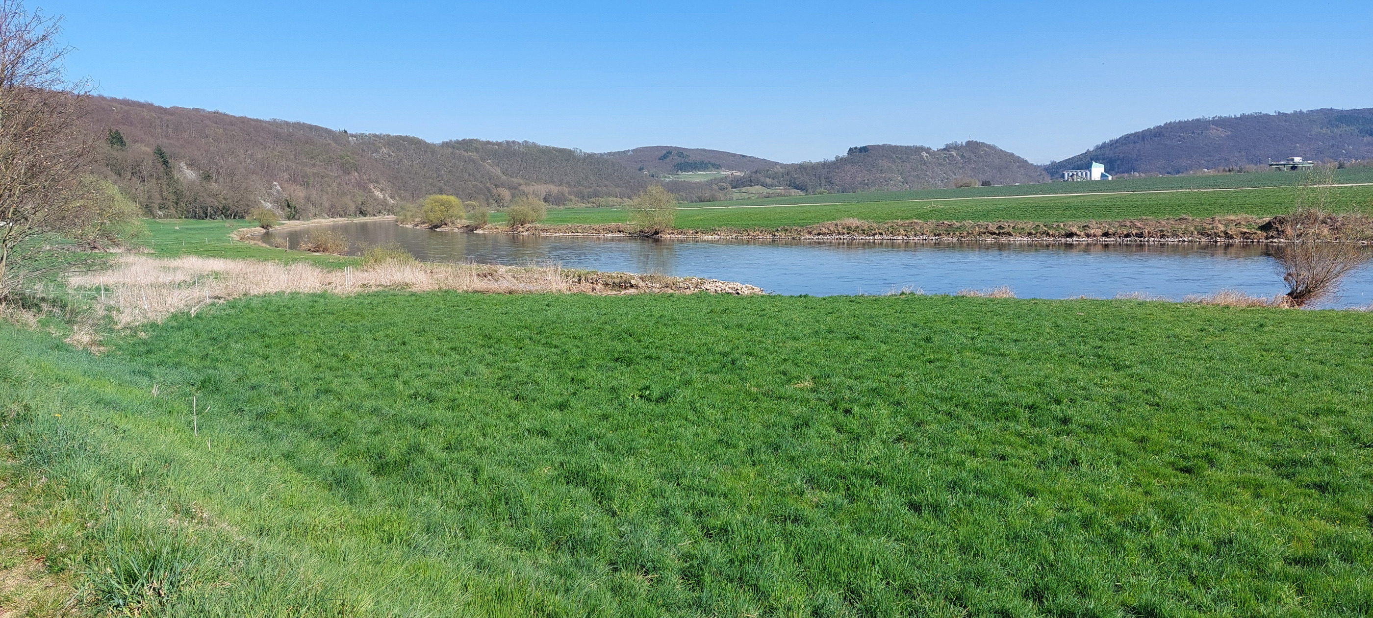
The Süntel and the fertile mountainous land between the forest and the Weser are an ancient settlement area with picturesque villages, romantic streams, and a diverse cultural landscape. Like in a magnifying glass, the bike tour through the Süntel villages showcases all that makes the Weserbergland especially charming.
- -:--
- Duration
- 33.5 km
- Distance
- 298 m
- Ascent
- 300 m
- Descent
- ---
- Avg. speed
- 189 m
- Max. altitude

Route quality
Waytypes & surfaces along the route
Waytypes
Road
9.4 km
(28 %)
Quiet road
8.7 km
(26 %)
Surfaces
Paved
24.5 km
(73 %)
Unpaved
1 km
(3 %)
Asphalt
23.5 km
(70 %)
Paved (undefined)
1 km
(3 %)
Continue with Bikemap
Use, edit, or download this cycling route
You would like to ride Süntel-Weser-Tour - Süntel-Weser-Tour or customize it for your own trip? Here is what you can do with this Bikemap route:
Free features
- Save this route as favorite or in collections
- Copy & plan your own version of this route
- Sync your route with Garmin or Wahoo
Premium features
Free trial for 3 days, or one-time payment. More about Bikemap Premium.
- Navigate this route on iOS & Android
- Export a GPX / KML file of this route
- Create your custom printout (try it for free)
- Download this route for offline navigation
Discover more Premium features.
Get Bikemap PremiumFrom our community
Other popular routes starting in Hamelin
 2ß24-04-04 Hameln - Bodenwerder - Hameln
- Distance
- 54.1 km
- Ascent
- 242 m
- Descent
- 239 m
- Location
- Hamelin, Lower Saxony, Germany
 Hameln/Weser nach Höxter/Weser
- Distance
- 65.4 km
- Ascent
- 223 m
- Descent
- 199 m
- Location
- Hamelin, Lower Saxony, Germany
 Tag2 Pyrmont-Köterb.-Grohnde
- Distance
- 127.3 km
- Ascent
- 1,663 m
- Descent
- 1,664 m
- Location
- Hamelin, Lower Saxony, Germany
 Süntel-Weser-Tour - Süntel-Weser-Tour
- Distance
- 33.5 km
- Ascent
- 298 m
- Descent
- 300 m
- Location
- Hamelin, Lower Saxony, Germany
 Hameln Rundtour
- Distance
- 45.2 km
- Ascent
- 315 m
- Descent
- 258 m
- Location
- Hamelin, Lower Saxony, Germany
 Holzweg 4, Hameln nach Holzweg 5, Hameln
- Distance
- 14.1 km
- Ascent
- 236 m
- Descent
- 233 m
- Location
- Hamelin, Lower Saxony, Germany
 Hameln West
- Distance
- 48 km
- Ascent
- 903 m
- Descent
- 903 m
- Location
- Hamelin, Lower Saxony, Germany
 HM Pegesdorf HM
- Distance
- 58.4 km
- Ascent
- 148 m
- Descent
- 145 m
- Location
- Hamelin, Lower Saxony, Germany
Open it in the app