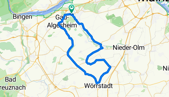
32_Ingelheim – Jugenheim – Schwabenheim – Ingelheim
- 35.6 km
- 262 m
- 262 m
- Ingelheim, Rhineland-Palatinate, Germany
A cycling route starting in Ingelheim, Rhineland-Palatinate, Germany.
Overview
'The Classic in Ingelheim!'
'Where the fox and the hare say goodnight!'
Can become really uncomfortable with strong winds on the plateau near the 'Wolfsheimer Sender'!
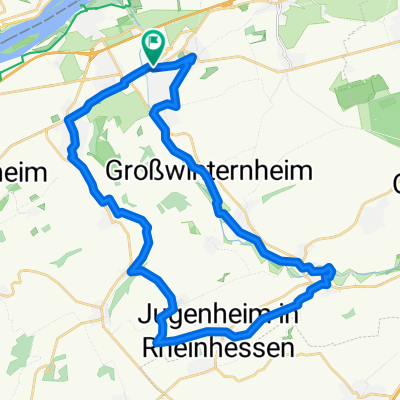
Ingelheim - Gau Algesheim - Appenheim - Nieder Hilbersheim - Ober Hilbersheim - Wörrstadt - Saulheim - Partenheim - Jugenheim - Stadecken Elsheim - Schwabenheim - Großwinternheim - Ingelheim.
created this 16 years ago
Route quality
Track
9.8 km
(21 %)
Quiet road
4.2 km
(9 %)
Paved
37.5 km
(80 %)
Unpaved
2.8 km
(6 %)
Asphalt
35.1 km
(75 %)
Concrete
1.4 km
(3 %)
Route highlights
"Suezkanal"
"Wolfsheimer Sender"
"Belle Vue" "Rondell"
"Belle Vue"
super Eisdiele
Continue with Bikemap
You would like to ride "Der Klassiker!" or customize it for your own trip? Here is what you can do with this Bikemap route:
Free trial for 3 days, or one-time payment. More about Bikemap Premium.
Discover more Premium features.
Get Bikemap PremiumFrom our community
Open it in the app