

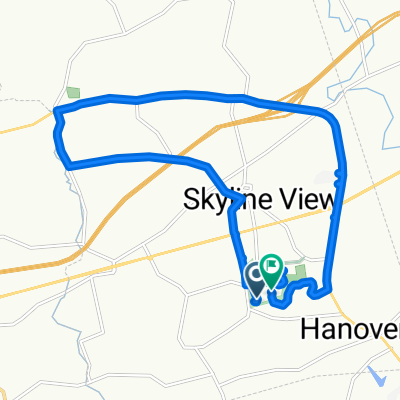
Double Blue Ridge 3Bs
A cycling route starting in Skyline View, Pennsylvania, United States.
Overview
About this route
- -:--
- Duration
- 26.3 km
- Distance
- 511 m
- Ascent
- 498 m
- Descent
- ---
- Avg. speed
- 372 m
- Max. altitude

Route quality
Waytypes & surfaces along the route
Waytypes
Road
17.1 km
(65 %)
Quiet road
4.1 km
(16 %)
Surfaces
Paved
2.3 km
(9 %)
Asphalt
2.3 km
(9 %)
Undefined
24.1 km
(91 %)
Continue with Bikemap
Use, edit, or download this cycling route
You would like to ride Double Blue Ridge 3Bs or customize it for your own trip? Here is what you can do with this Bikemap route:
Free features
- Save this route as favorite or in collections
- Copy & plan your own version of this route
- Sync your route with Garmin or Wahoo
Premium features
Free trial for 3 days, or one-time payment. More about Bikemap Premium.
- Navigate this route on iOS & Android
- Export a GPX / KML file of this route
- Create your custom printout (try it for free)
- Download this route for offline navigation
Discover more Premium features.
Get Bikemap PremiumFrom our community
Other popular routes starting in Skyline View
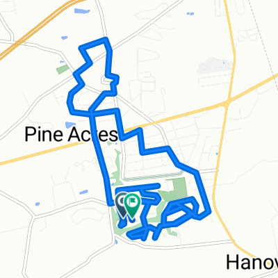 Chervil Court to Chervil Court
- Distance
- 14 km
- Ascent
- 126 m
- Descent
- 94 m
- Location
- Skyline View, Pennsylvania, United States
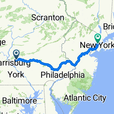 NYC Final
- Distance
- 357 km
- Ascent
- 2,199 m
- Descent
- 2,328 m
- Location
- Skyline View, Pennsylvania, United States
 Devonshire Heights Road 8263, Hummelstown to Devonshire Heights Road 8822, Hummelstown
- Distance
- 25.5 km
- Ascent
- 31 m
- Descent
- 42 m
- Location
- Skyline View, Pennsylvania, United States
 Piketown Linglestown loop
- Distance
- 16.7 km
- Ascent
- 141 m
- Descent
- 102 m
- Location
- Skyline View, Pennsylvania, United States
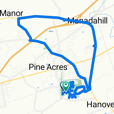 Neighborhood Linglestown Rd loop
- Distance
- 17.4 km
- Ascent
- 184 m
- Descent
- 149 m
- Location
- Skyline View, Pennsylvania, United States
 Double Blue Ridge 3Bs
- Distance
- 26.3 km
- Ascent
- 511 m
- Descent
- 498 m
- Location
- Skyline View, Pennsylvania, United States
 Hummelstown to Marietta
- Distance
- 42.6 km
- Ascent
- 490 m
- Descent
- 533 m
- Location
- Skyline View, Pennsylvania, United States
 Swatara Gap 40 miler
- Distance
- 65.3 km
- Ascent
- 311 m
- Descent
- 312 m
- Location
- Skyline View, Pennsylvania, United States
Open it in the app