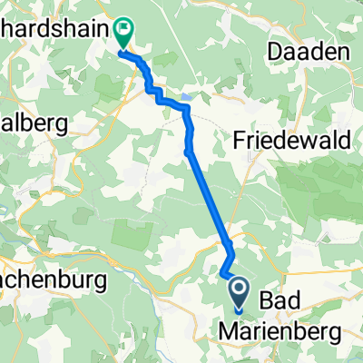
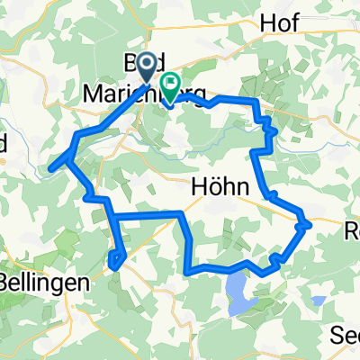
Premium Badge Download on the App Store Get it on Google Play Turn-by-turn Navigation Offline Maps Bike Type Optimized Routing Premium Maps Custom Bike Computer Export Routes Route Previews Fall Detection Premium Support

Cycling Route in Bad Marienberg, Rhineland-Palatinate, Germany

Bad Marienberger RTF - 111 km Strecke

0
Open this route in the Bikemap app

Open this route in the Bikemap app

Open this route in Bikemap Web

Open this route in Bikemap Web

132 km
Distance
2153 m
Ascent
2152 m
Descent
-:-- h
Duration
-- km/h
Avg. Speed
648 m
Max. Elevation

About This Route

This cycling route is ideal for: Road bike

You will cycle on the following surfaces: Paved

This route is based on Bad Marienberger RTF 2017 der WSG - Bad Marienberg e.V. - 111 km Strecke .

Highlights Along The Route

Point of Interest

Kontrolle Hellenhahn

Point of Interest

Kontrolle Lautzenbrücken

Point of Interest

Kontrolle Hachenburg

Customize this cycling route with the Bikemap route planner.

Make it yours!

Did you know? You can use this route as a template in our cycling route planner if you don't wish to start from scratch. Customize it based on your needs to plan your perfect cycling tour.

Open it in the app