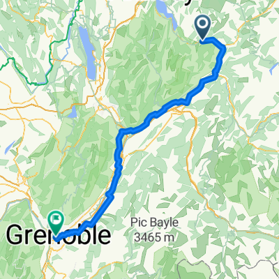
Faverges/HauteSavoie'05, 1.Etappe: Leschaux + Frêne + Tamié
- 102.1 km
- 1,574 m
- 1,575 m
- Faverges, Auvergne-Rhône-Alpes, France
A cycling route starting in Faverges, Auvergne-Rhône-Alpes, France.
Overview
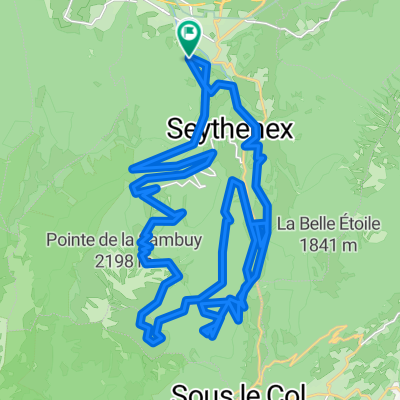
Lac Marlens - Arpettaz - Col de la Soif - Aravis - Croix Fry - Lac Marlens
created this 3 years ago
Route quality
Track
25.6 km
(31 %)
Quiet road
18.2 km
(22 %)
Paved
38.8 km
(47 %)
Unpaved
21.5 km
(26 %)
Asphalt
36.3 km
(44 %)
Gravel
15.7 km
(19 %)
Continue with Bikemap
You would like to ride Gravel en Bauges 2 or customize it for your own trip? Here is what you can do with this Bikemap route:
Free trial for 3 days, or one-time payment. More about Bikemap Premium.
Discover more Premium features.
Get Bikemap PremiumFrom our community
Open it in the app