Recovered Route
- 15.4 km
- 28 m
- 28 m
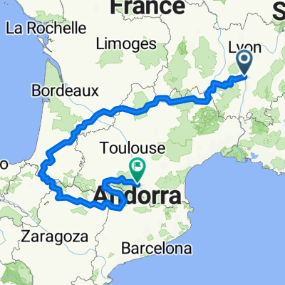
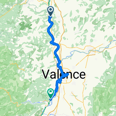
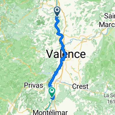
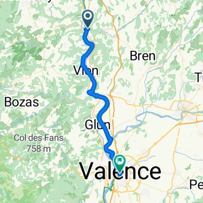
- Saint-Vallier, Auvergne-Rhône-Alpes, France
A cycling route starting in Saint-Vallier, Auvergne-Rhône-Alpes, France.
Overview
Draft:
Bike tour through the Massif Central, along the Allier
created this 3 years ago
Route quality
Road
193.8 km
(32 %)
Quiet road
96.9 km
(16 %)
Paved
387.6 km
(64 %)
Unpaved
42.4 km
(7 %)
Asphalt
381.5 km
(63 %)
Gravel
18.2 km
(3 %)
Continue with Bikemap
You would like to ride Entwurf: L'Allier-Tour or customize it for your own trip? Here is what you can do with this Bikemap route:
Free trial for 3 days, or one-time payment. More about Bikemap Premium.
Discover more Premium features.
Get Bikemap PremiumFrom our community
Open it in the app