San Leandro - Walnut Creek - Crow Canyon Circuit
- 81.6 km
- 649 m
- 649 m
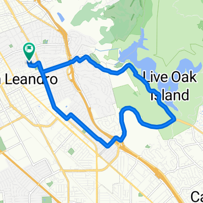
- San Leandro, California, United States
A cycling route starting in San Leandro, California, United States.
Overview
Decent ride. Palomares Road produces an acceptable grunt or two. The long, noisy ride back up Mission is not good.
created this 14 years ago
Continue with Bikemap
You would like to ride San Leandro - Lake Chabot - Palomares Road - Niles Canyon Circuit or customize it for your own trip? Here is what you can do with this Bikemap route:
Free trial for 3 days, or one-time payment. More about Bikemap Premium.
Discover more Premium features.
Get Bikemap PremiumFrom our community
Open it in the app