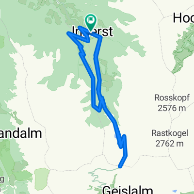
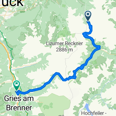
Transalp 2011 Tag 2
A cycling route starting in Kolsassberg, Tyrol, Austria.
Overview
About this route
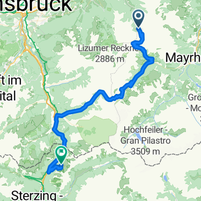
Von der Weidener Hütte übers Geiseljoch, Tuxer Joch und Brenner zur Enzianhütte
- -:--
- Duration
- 68.5 km
- Distance
- 2,400 m
- Ascent
- 2,294 m
- Descent
- ---
- Avg. speed
- ---
- Max. altitude
Continue with Bikemap
Use, edit, or download this cycling route
You would like to ride Transalp 2011 Tag 2 or customize it for your own trip? Here is what you can do with this Bikemap route:
Free features
- Save this route as favorite or in collections
- Copy & plan your own version of this route
- Sync your route with Garmin or Wahoo
Premium features
Free trial for 3 days, or one-time payment. More about Bikemap Premium.
- Navigate this route on iOS & Android
- Export a GPX / KML file of this route
- Create your custom printout (try it for free)
- Download this route for offline navigation
Discover more Premium features.
Get Bikemap PremiumFrom our community
Other popular routes starting in Kolsassberg
- Weidner Hütte - Sterzing
- Distance
- 80.1 km
- Ascent
- 1,598 m
- Descent
- 2,664 m
- Location
- Kolsassberg, Tyrol, Austria
- Povers
- Distance
- 5.4 km
- Ascent
- 42 m
- Descent
- 526 m
- Location
- Kolsassberg, Tyrol, Austria
- Herr Muellers Transalp Etappe 2
- Distance
- 47.1 km
- Ascent
- 1,982 m
- Descent
- 1,513 m
- Location
- Kolsassberg, Tyrol, Austria
- Transalp 2017 #3
- Distance
- 51.8 km
- Ascent
- 1,786 m
- Descent
- 2,192 m
- Location
- Kolsassberg, Tyrol, Austria
- 3_Weidener Huette
- Distance
- 50.4 km
- Ascent
- 1,821 m
- Descent
- 2,230 m
- Location
- Kolsassberg, Tyrol, Austria
- Hintertux
- Distance
- 50.5 km
- Ascent
- 1,813 m
- Descent
- 2,219 m
- Location
- Kolsassberg, Tyrol, Austria
- Transalp 2011 Tag 2
- Distance
- 68.5 km
- Ascent
- 2,400 m
- Descent
- 2,294 m
- Location
- Kolsassberg, Tyrol, Austria
- Rundtour um die Lafasteralm
- Distance
- 20.7 km
- Ascent
- 811 m
- Descent
- 811 m
- Location
- Kolsassberg, Tyrol, Austria
Open it in the app