

Dunajec i jeden podjazd
A cycling route starting in Szczawnica, Lesser Poland Voivodeship, Poland.
Overview
About this route
Dunajec and one climb
- -:--
- Duration
- 47.6 km
- Distance
- 1,878 m
- Ascent
- 1,882 m
- Descent
- ---
- Avg. speed
- 705 m
- Max. altitude

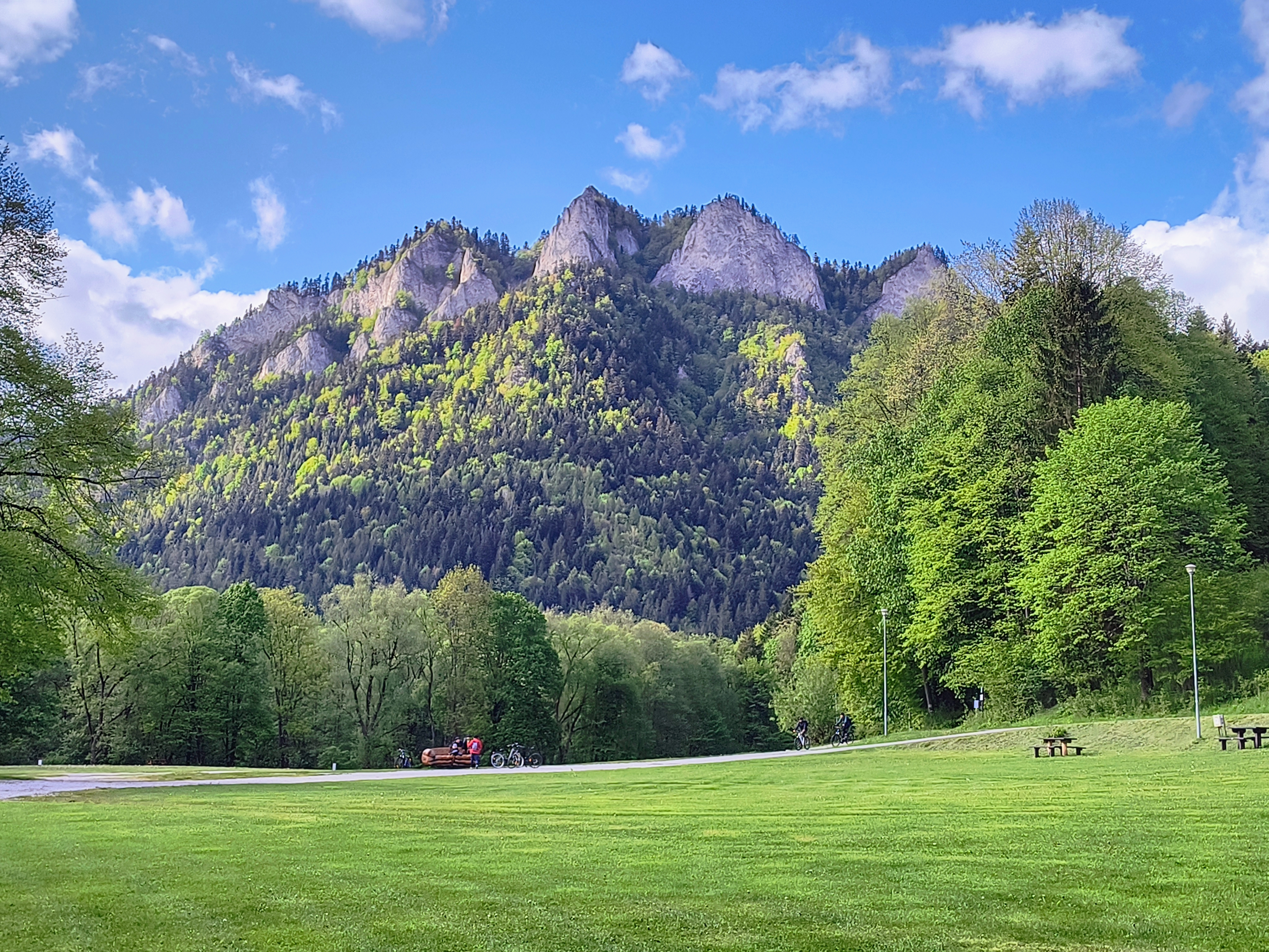
Route photos


Route quality
Waytypes & surfaces along the route
Waytypes
Cycleway
23.3 km
(49 %)
Road
8.1 km
(17 %)
Surfaces
Paved
42.8 km
(90 %)
Asphalt
22.4 km
(47 %)
Concrete
20.5 km
(43 %)
Undefined
4.8 km
(10 %)
Continue with Bikemap
Use, edit, or download this cycling route
You would like to ride Dunajec i jeden podjazd or customize it for your own trip? Here is what you can do with this Bikemap route:
Free features
- Save this route as favorite or in collections
- Copy & plan your own version of this route
- Sync your route with Garmin or Wahoo
Premium features
Free trial for 3 days, or one-time payment. More about Bikemap Premium.
- Navigate this route on iOS & Android
- Export a GPX / KML file of this route
- Create your custom printout (try it for free)
- Download this route for offline navigation
Discover more Premium features.
Get Bikemap PremiumFrom our community
Other popular routes starting in Szczawnica
 Pieniny Polskie i Słowackie
- Distance
- 31.5 km
- Ascent
- 776 m
- Descent
- 773 m
- Location
- Szczawnica, Lesser Poland Voivodeship, Poland
 Małe Pieniny - Polskie i Słowackie
- Distance
- 28.2 km
- Ascent
- 844 m
- Descent
- 844 m
- Location
- Szczawnica, Lesser Poland Voivodeship, Poland
 Velo Dunajec, Szczawnica - Sromowce Niżne
- Distance
- 13 km
- Ascent
- 558 m
- Descent
- 541 m
- Location
- Szczawnica, Lesser Poland Voivodeship, Poland
 Dunajec i jeden podjazd
- Distance
- 47.6 km
- Ascent
- 1,878 m
- Descent
- 1,882 m
- Location
- Szczawnica, Lesser Poland Voivodeship, Poland
 Szczawnica_Majówka_Turystycznie
- Distance
- 51 km
- Ascent
- 437 m
- Descent
- 447 m
- Location
- Szczawnica, Lesser Poland Voivodeship, Poland
 Jaworki; Biała Woda + Czarna Woda
- Distance
- 19.4 km
- Ascent
- 378 m
- Descent
- 378 m
- Location
- Szczawnica, Lesser Poland Voivodeship, Poland
 Pienińska 1C, Szczawnica do Osiedle Zamek 11, Niedzica
- Distance
- 23.7 km
- Ascent
- 3,733 m
- Descent
- 3,678 m
- Location
- Szczawnica, Lesser Poland Voivodeship, Poland
 przełom Dunajca
- Distance
- 16 km
- Ascent
- 1,008 m
- Descent
- 963 m
- Location
- Szczawnica, Lesser Poland Voivodeship, Poland
Open it in the app