

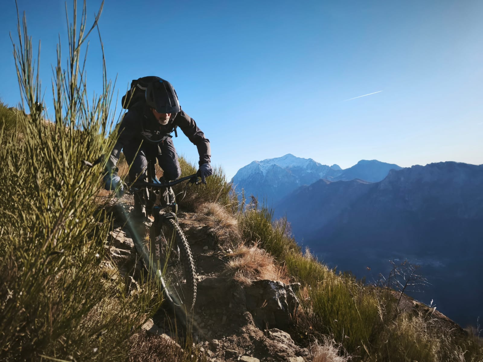
Grivola Rossa da Cogne
A cycling route starting in Cogne, Aosta Valley, Italy.
Overview
About this route
Start time: 08/16/2018 07:55 End time: 08/16/2018 17:49 Distance: 22.3 km (09:54) Moving time: 06:20 Average speed: 2.25 km/h Average moving speed: 3.52 km/h Max speed: 18.73 km/h Minimum altitude: 1439 m Maximum altitude: 3488 m Ascent speed: 358.8 m/h Descent speed: -527.3 m/h Positive elevation gain: 2127 m Negative elevation loss: -2095 m Climbing time: 05:55 Descent time: 03:58
- -:--
- Duration
- 22.3 km
- Distance
- 2,168 m
- Ascent
- 2,134 m
- Descent
- ---
- Avg. speed
- 3,488 m
- Max. altitude
Continue with Bikemap
Use, edit, or download this cycling route
You would like to ride Grivola Rossa da Cogne or customize it for your own trip? Here is what you can do with this Bikemap route:
Free features
- Save this route as favorite or in collections
- Copy & plan your own version of this route
- Sync your route with Garmin or Wahoo
Premium features
Free trial for 3 days, or one-time payment. More about Bikemap Premium.
- Navigate this route on iOS & Android
- Export a GPX / KML file of this route
- Create your custom printout (try it for free)
- Download this route for offline navigation
Discover more Premium features.
Get Bikemap PremiumFrom our community
Other popular routes starting in Cogne
 8-Casolari Money
- Distance
- 11.4 km
- Ascent
- 779 m
- Descent
- 652 m
- Location
- Cogne, Aosta Valley, Italy
 Grivola Rossa da Cogne
- Distance
- 22.3 km
- Ascent
- 2,168 m
- Descent
- 2,134 m
- Location
- Cogne, Aosta Valley, Italy
 Itinerari imperdibili in mountain bike. In Piemonte e Valle D'Aosta: 17. Passo Invergneux
- Distance
- 33.6 km
- Ascent
- 1,393 m
- Descent
- 1,392 m
- Location
- Cogne, Aosta Valley, Italy
 Invergneux & Tersiva
- Distance
- 37.1 km
- Ascent
- 2,316 m
- Descent
- 2,310 m
- Location
- Cogne, Aosta Valley, Italy
 10-07-10 Cogne
- Distance
- 36.7 km
- Ascent
- 1,401 m
- Descent
- 1,401 m
- Location
- Cogne, Aosta Valley, Italy
 Lillaz
- Distance
- 10.4 km
- Ascent
- 813 m
- Descent
- 704 m
- Location
- Cogne, Aosta Valley, Italy
 Touring - La Dolce Vita
- Distance
- 1,034.3 km
- Ascent
- 17,895 m
- Descent
- 19,216 m
- Location
- Cogne, Aosta Valley, Italy
 2. Cresta Tsa Setsé + Banzai Trail
- Distance
- 65.5 km
- Ascent
- 1,380 m
- Descent
- 3,506 m
- Location
- Cogne, Aosta Valley, Italy
Open it in the app