

Invergneux & Tersiva
A cycling route starting in Cogne, Aosta Valley, Italy.
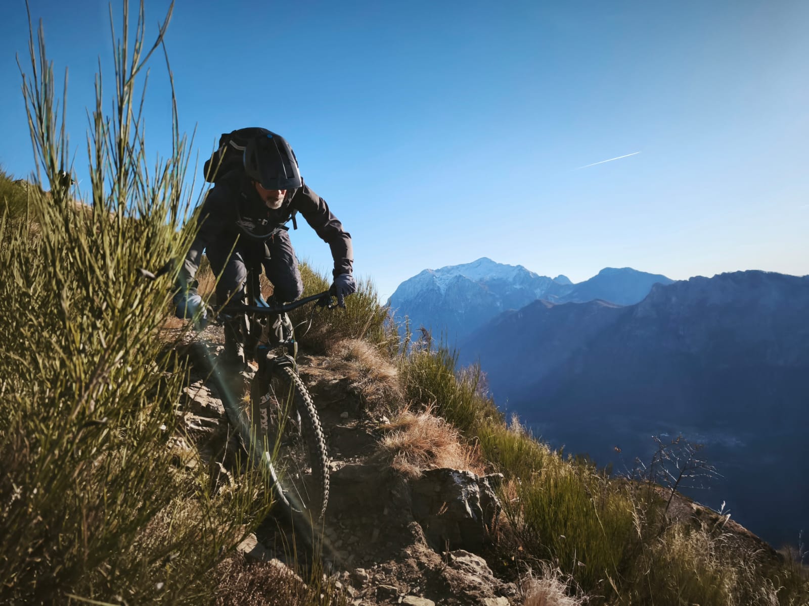
Overview
About this route
Start time: 07:53 05 Oct 2019 End time: 18:29 05 Oct 2019 Distance: 37.1 km (10:36) Moving time: 06:45 Average speed: 3.5 km/h Average moving speed: 5.49 km/h Max speed: 66.45 km/h Minimum altitude: 1532 m Maximum altitude: 3515 m Climbing speed: 288.9 m/h Descending speed: -871.1 m/h Positive elevation gain: 2293 m Negative elevation loss: -2286 m Climbing time: 07:56 Descending time: 02:37
- -:--
- Duration
- 37.1 km
- Distance
- 2,316 m
- Ascent
- 2,310 m
- Descent
- ---
- Avg. speed
- 3,515 m
- Max. altitude
Continue with Bikemap
Use, edit, or download this cycling route
You would like to ride Invergneux & Tersiva or customize it for your own trip? Here is what you can do with this Bikemap route:
Free features
- Save this route as favorite or in collections
- Copy & plan your own version of this route
- Sync your route with Garmin or Wahoo
Premium features
Free trial for 3 days, or one-time payment. More about Bikemap Premium.
- Navigate this route on iOS & Android
- Export a GPX / KML file of this route
- Create your custom printout (try it for free)
- Download this route for offline navigation
Discover more Premium features.
Get Bikemap PremiumFrom our community
Other popular routes starting in Cogne
 Lillaz
- Distance
- 10.4 km
- Ascent
- 813 m
- Descent
- 704 m
- Location
- Cogne, Aosta Valley, Italy
 Cogne-Ivrea dal Colle de la Fenetre
- Distance
- 71.5 km
- Ascent
- 1,283 m
- Descent
- 2,587 m
- Location
- Cogne, Aosta Valley, Italy
 10-07-10 Cogne
- Distance
- 36.7 km
- Ascent
- 1,401 m
- Descent
- 1,401 m
- Location
- Cogne, Aosta Valley, Italy
 2. Cresta Tsa Setsé + Banzai Trail
- Distance
- 65.5 km
- Ascent
- 1,380 m
- Descent
- 3,506 m
- Location
- Cogne, Aosta Valley, Italy
 Invergneux & Tersiva
- Distance
- 37.1 km
- Ascent
- 2,316 m
- Descent
- 2,310 m
- Location
- Cogne, Aosta Valley, Italy
 COGNE e le sue VALLI
- Distance
- 32.5 km
- Ascent
- 658 m
- Descent
- 658 m
- Location
- Cogne, Aosta Valley, Italy
 8-Casolari Money
- Distance
- 11.4 km
- Ascent
- 779 m
- Descent
- 652 m
- Location
- Cogne, Aosta Valley, Italy
 mtb: giro Invergneux
- Distance
- 31.6 km
- Ascent
- 1,322 m
- Descent
- 1,321 m
- Location
- Cogne, Aosta Valley, Italy
Open it in the app