e-Bike Tour - Bergbauernhof Runde
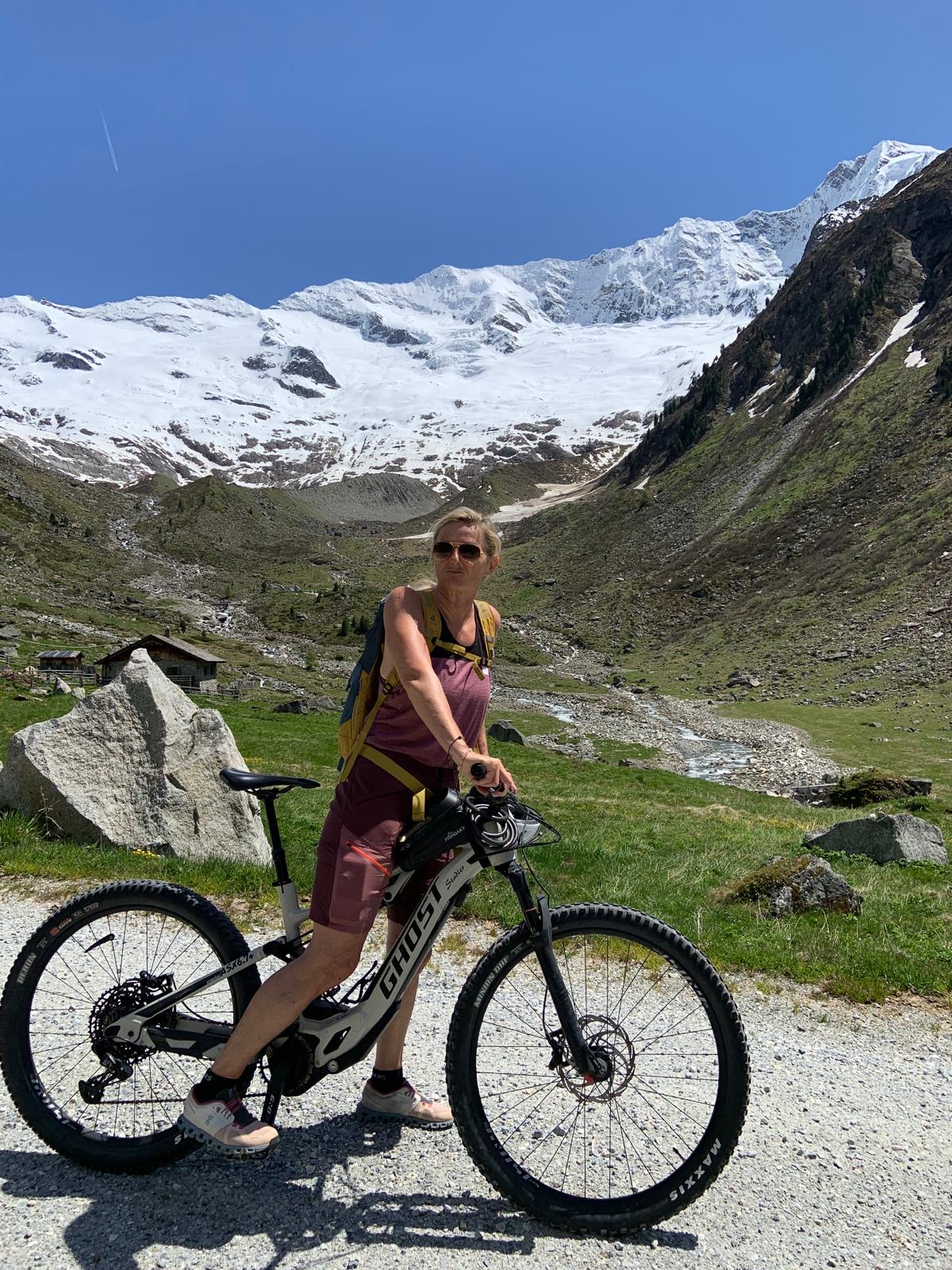
A cycling route starting in Dienten am Hochkönig, Salzburg, Austria.
Overview
About this route
Eine gemütliche e-Bike Runde mit viel Erlebnisfaktor.
- -:--
- Duration
- 19.3 km
- Distance
- 794 m
- Ascent
- 796 m
- Descent
- ---
- Avg. speed
- 1,300 m
- Avg. speed
Route quality
Waytypes & surfaces along the route
Waytypes
Quiet road
6.9 km
(35 %)
Road
6.3 km
(32 %)
Surfaces
Paved
13.8 km
(71 %)
Unpaved
5.2 km
(27 %)
Asphalt
13.8 km
(71 %)
Gravel
4 km
(21 %)
Continue with Bikemap
Use, edit, or download this cycling route
You would like to ride e-Bike Tour - Bergbauernhof Runde or customize it for your own trip? Here is what you can do with this Bikemap route:
Free features
- Save this route as favorite or in collections
- Copy & plan your own version of this route
- Sync your route with Garmin or Wahoo
Premium features
Free trial for 3 days, or one-time payment. More about Bikemap Premium.
- Navigate this route on iOS & Android
- Export a GPX / KML file of this route
- Create your custom printout (try it for free)
- Download this route for offline navigation
Discover more Premium features.
Get Bikemap PremiumFrom our community
Other popular routes starting in Dienten am Hochkönig
- Gabühelrunde über Grünegg
- Distance
- 17.3 km
- Ascent
- 628 m
- Descent
- 629 m
- Location
- Dienten am Hochkönig, Salzburg, Austria
- MTB Tour - Bürglalm Runde (Tour 4) - MTB Tour - Bürglalm Runde (Tour 4)
- Distance
- 20.4 km
- Ascent
- 730 m
- Descent
- 733 m
- Location
- Dienten am Hochkönig, Salzburg, Austria
- Hochkonigstrase - Salfenden- Leogang bike - Zell am See
- Distance
- 57.8 km
- Ascent
- 282 m
- Descent
- 818 m
- Location
- Dienten am Hochkönig, Salzburg, Austria
- StegmoosVierhütten
- Distance
- 8.3 km
- Ascent
- 289 m
- Descent
- 477 m
- Location
- Dienten am Hochkönig, Salzburg, Austria
- Sonnbergrunde
- Distance
- 18.4 km
- Ascent
- 389 m
- Descent
- 400 m
- Location
- Dienten am Hochkönig, Salzburg, Austria
- Kopphütte - Bürglalm - Sunnhüttl - Zapferlam - Bergheimat
- Distance
- 23.8 km
- Ascent
- 1,010 m
- Descent
- 1,009 m
- Location
- Dienten am Hochkönig, Salzburg, Austria
- Hochmais, Maria Alm nach Hochmais, Maria Alm
- Distance
- 27.9 km
- Ascent
- 1,152 m
- Descent
- 1,159 m
- Location
- Dienten am Hochkönig, Salzburg, Austria
- Flow Trail Hochkönig - Skill Area/Pump Track (Tour 9) - Flow Trail Hochkönig - Skill Area/Pump Track (Tour 9)
- Distance
- 13.6 km
- Ascent
- 658 m
- Descent
- 658 m
- Location
- Dienten am Hochkönig, Salzburg, Austria
Open it in the app