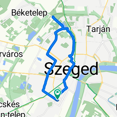
Puszták napja
- 140.9 km
- 211 m
- 243 m
- Szeged, Csongrád megye, Hungary
A cycling route starting in Szeged, Csongrád megye, Hungary.
Overview
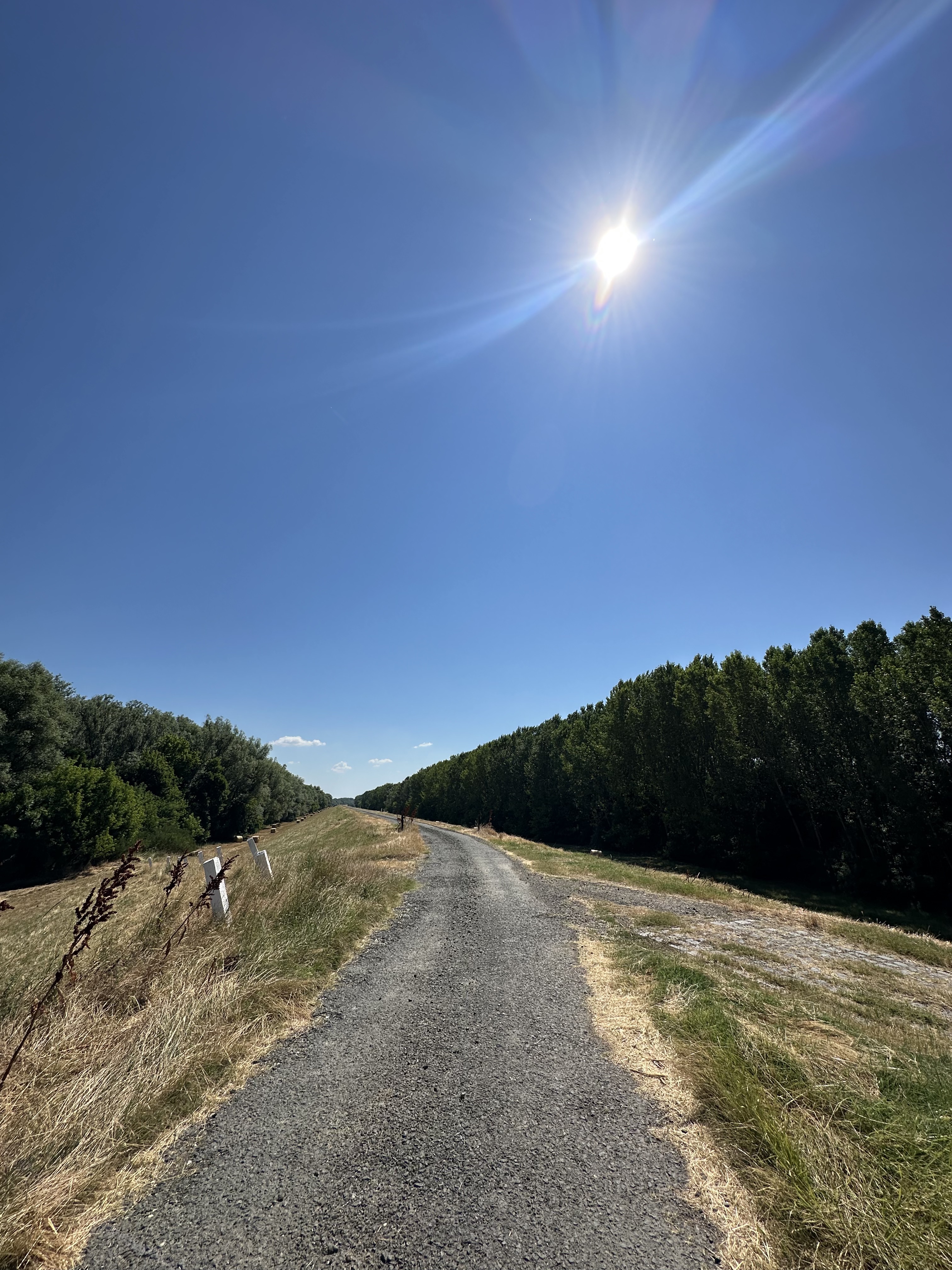
Can you sink deeper at home? The road that looks like a street next to the river is secured with a locked barrier, so you can be sure that you will be safe from vehicle traffic.
created this 14 years ago
Route quality
Quiet road
9.3 km
(39 %)
Access road
4.8 km
(20 %)
Paved
20.2 km
(85 %)
Unpaved
0.7 km
(3 %)
Asphalt
19.3 km
(81 %)
Concrete
1 km
(4 %)
Route highlights
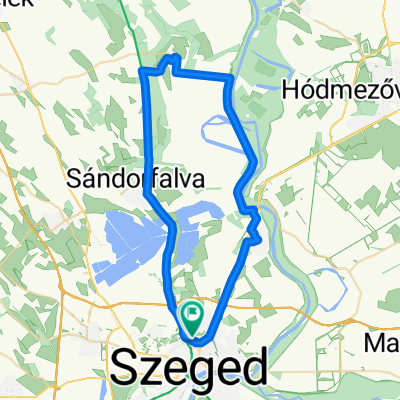
\"")
Magyarország hivatalosan legalacsonyabb tengerszint feletti magassága, azaz a tiszaszigeti mélypont. Fedett kerékpártároló és asztalok, kiváló piknikhely. Elsőbbség és vizesblokk használat a tiszaszigeti önkormányzatnál bejelentkezőknek.
Continue with Bikemap
You would like to ride Piknik a Mélyponton (75,8m tengerszint felett) or customize it for your own trip? Here is what you can do with this Bikemap route:
Free trial for 3 days, or one-time payment. More about Bikemap Premium.
Discover more Premium features.
Get Bikemap PremiumFrom our community
Open it in the app