

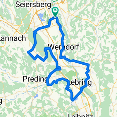
Radtour - Gössendorf - Liebochtalradweg - Murradweg
A cycling route starting in Gössendorf, Styria, Austria.
Overview
About this route
Bike tour - Feldkirchen - Seiersberg - Premstätten loop - Liebochtal Cycle Path - Gratwein - Murradweg
- -:--
- Duration
- 72.2 km
- Distance
- 1,030 m
- Ascent
- 1,027 m
- Descent
- ---
- Avg. speed
- 681 m
- Max. altitude

Route quality
Waytypes & surfaces along the route
Waytypes
Quiet road
38.3 km
(53 %)
Cycleway
12.3 km
(17 %)
Surfaces
Paved
40.4 km
(56 %)
Unpaved
1.4 km
(2 %)
Asphalt
37.5 km
(52 %)
Paved (undefined)
2.2 km
(3 %)
Continue with Bikemap
Use, edit, or download this cycling route
You would like to ride Radtour - Gössendorf - Liebochtalradweg - Murradweg or customize it for your own trip? Here is what you can do with this Bikemap route:
Free features
- Save this route as favorite or in collections
- Copy & plan your own version of this route
- Sync your route with Garmin or Wahoo
Premium features
Free trial for 3 days, or one-time payment. More about Bikemap Premium.
- Navigate this route on iOS & Android
- Export a GPX / KML file of this route
- Create your custom printout (try it for free)
- Download this route for offline navigation
Discover more Premium features.
Get Bikemap PremiumFrom our community
Other popular routes starting in Gössendorf
 Radtour - Gössendorf - Liebochtalradweg - Murradweg
- Distance
- 72.2 km
- Ascent
- 1,030 m
- Descent
- 1,027 m
- Location
- Gössendorf, Styria, Austria
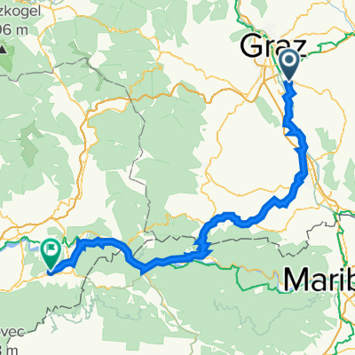
 Baba Östarraich Step 1 (Graz - Bled)
- Distance
- 280.6 km
- Ascent
- 744 m
- Descent
- 573 m
- Location
- Gössendorf, Styria, Austria
 Abseits des Verkehrs Gössendorf - Wolfsberg
- Distance
- 74.7 km
- Ascent
- 1,335 m
- Descent
- 1,336 m
- Location
- Gössendorf, Styria, Austria
 Hausmannstätten - Tyrnauer Alm - Teichalm - Passail - Arzberg - Gleisdorf und retour
- Distance
- 132 km
- Ascent
- 1,492 m
- Descent
- 1,489 m
- Location
- Gössendorf, Styria, Austria
 Gössendorf - Traundorf
- Distance
- 127 km
- Ascent
- 1,569 m
- Descent
- 1,391 m
- Location
- Gössendorf, Styria, Austria
 80er durch den Kaiserwald mit Stopp beim Ankerpunkt
- Distance
- 77.1 km
- Ascent
- 474 m
- Descent
- 477 m
- Location
- Gössendorf, Styria, Austria
 Wagnitz - St.Egidi (Sentilj)
- Distance
- 43.5 km
- Ascent
- 68 m
- Descent
- 89 m
- Location
- Gössendorf, Styria, Austria
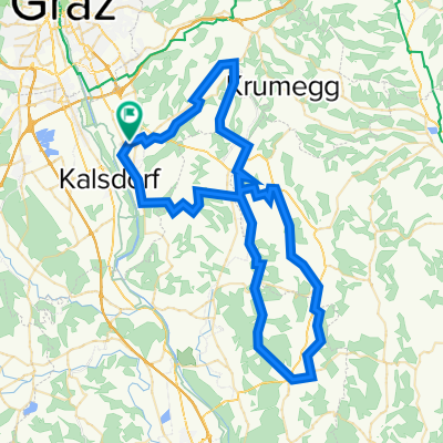
 gk ehren
- Distance
- 61.9 km
- Ascent
- 587 m
- Descent
- 656 m
- Location
- Gössendorf, Styria, Austria
Open it in the app