2016 - 4. Tag
- 102.8 km
- 271 m
- 312 m
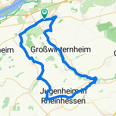
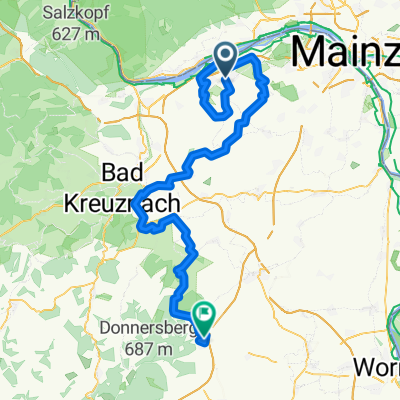
- Ingelheim, Rhineland-Palatinate, Germany
A cycling route starting in Ingelheim, Rhineland-Palatinate, Germany.
Overview
Here is the 'Heimy - Variant' of the great Hunsrück tour for those who want a few more meters of elevation. Beautiful, varied tour. Since long stretches run through the forest, it is also suitable in the height of summer. Watch out, on the long descent to Argenthal there are (were?) some very low manhole covers! A large part of the route is relatively low-traffic.
created this 16 years ago
Route quality
Road
16.8 km
(14 %)
Track
13.2 km
(11 %)
Paved
86.2 km
(72 %)
Unpaved
3.6 km
(3 %)
Asphalt
80.2 km
(67 %)
Paved (undefined)
6 km
(5 %)
Continue with Bikemap
You would like to ride große Hunsrücktour II Ingelheim, Gemünden, Ingelheim (Variante) or customize it for your own trip? Here is what you can do with this Bikemap route:
Free trial for 3 days, or one-time payment. More about Bikemap Premium.
Discover more Premium features.
Get Bikemap PremiumFrom our community
Open it in the app