

Ötztal Teil 2
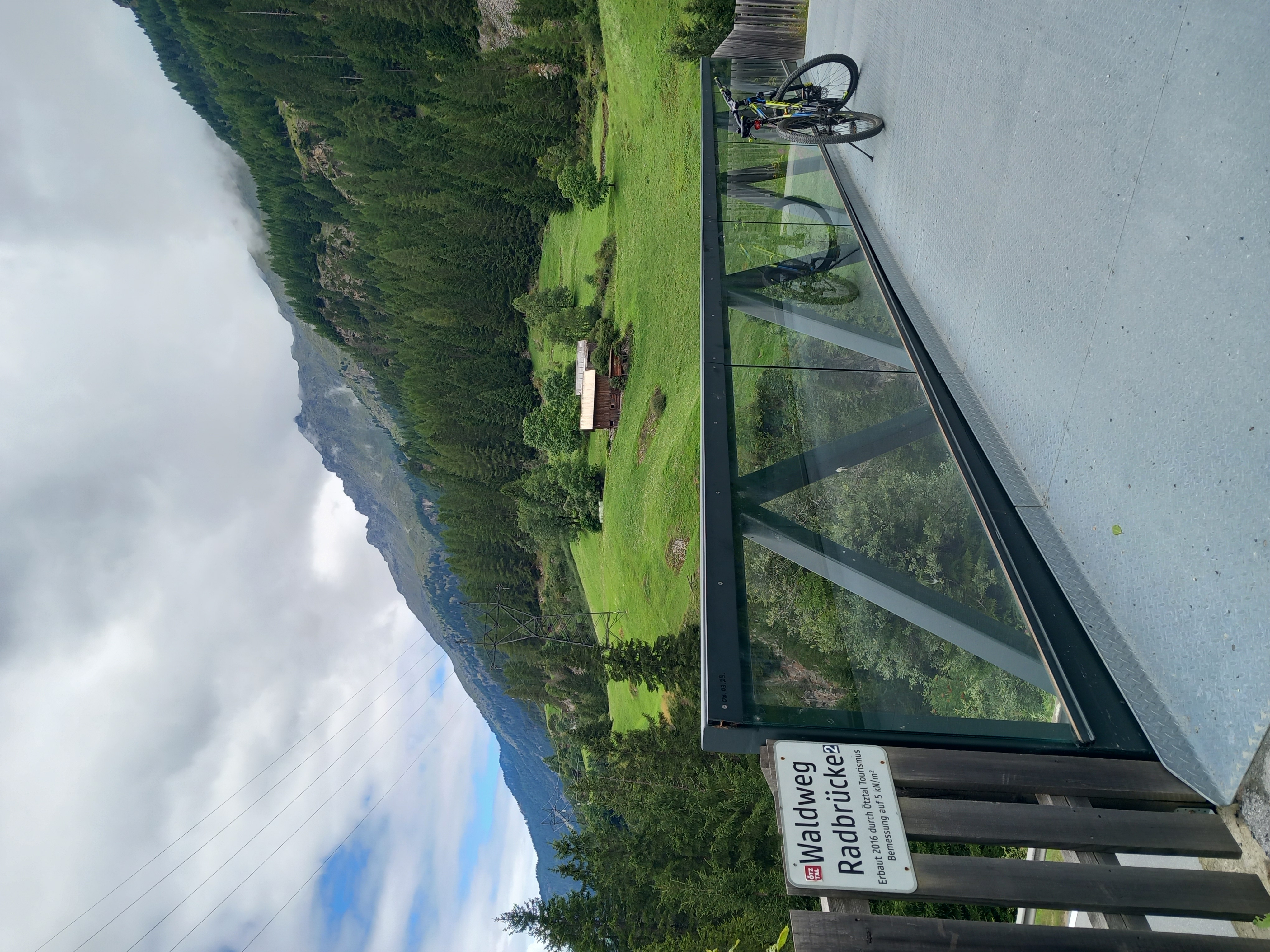
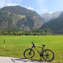
A cycling route starting in Umhausen, Tyrol, Austria.
Overview
About this route
the ride to Tiefenbachfener is an absolute must for record hunters. At 2830 meters above sea level, it is the highest point accessible by racing bike in the Alpine region. The entire Ötztal route from Imst to Sölden is quite easy to ride. Slightly ascending with short, steeper sections. From Sölden, it really kicks off. 1470 meters of elevation gain over 14 km in length. Only for truly experienced mountain cyclists. The increasingly thinner air above 2500 meters should not be underestimated. I had bad luck with the weather on my ride last year. On the way back, I encountered torrential rain descending from Längenfeld.
- -:--
- Duration
- 39 km
- Distance
- 2,171 m
- Ascent
- 450 m
- Descent
- ---
- Avg. speed
- ---
- Max. altitude

Continue with Bikemap
Use, edit, or download this cycling route
You would like to ride Ötztal Teil 2 or customize it for your own trip? Here is what you can do with this Bikemap route:
Free features
- Save this route as favorite or in collections
- Copy & plan your own version of this route
- Sync your route with Garmin or Wahoo
Premium features
Free trial for 3 days, or one-time payment. More about Bikemap Premium.
- Navigate this route on iOS & Android
- Export a GPX / KML file of this route
- Create your custom printout (try it for free)
- Download this route for offline navigation
Discover more Premium features.
Get Bikemap PremiumFrom our community
Other popular routes starting in Umhausen
 Österreich nach Am Tauferberg 2, Umhausen
- Distance
- 9.6 km
- Ascent
- 123 m
- Descent
- 207 m
- Location
- Umhausen, Tyrol, Austria
 Via Claudia Augusta 2
- Distance
- 66.7 km
- Ascent
- 1,192 m
- Descent
- 1,691 m
- Location
- Umhausen, Tyrol, Austria
 Au to Au 03.08.2025
- Distance
- 43.5 km
- Ascent
- 604 m
- Descent
- 655 m
- Location
- Umhausen, Tyrol, Austria
 Ötztal Trail / Area 47
- Distance
- 54.8 km
- Ascent
- 576 m
- Descent
- 575 m
- Location
- Umhausen, Tyrol, Austria
 Au to Au 14.08.2025
- Distance
- 56.3 km
- Ascent
- 1,203 m
- Descent
- 1,259 m
- Location
- Umhausen, Tyrol, Austria
 Längenfeld Nislalm
- Distance
- 13.4 km
- Ascent
- 557 m
- Descent
- 962 m
- Location
- Umhausen, Tyrol, Austria
 Polltal / Breitlehn
- Distance
- 24.2 km
- Ascent
- 728 m
- Descent
- 728 m
- Location
- Umhausen, Tyrol, Austria
 Längenfeld - Feuerstein
- Distance
- 9.2 km
- Ascent
- 392 m
- Descent
- 42 m
- Location
- Umhausen, Tyrol, Austria
Open it in the app