Salado Doima Piedras Tebaida San Bernardo Salado
A cycling route starting in Ibagué, Tolima Department, Colombia.
Overview
About this route
Ibagué Doima Piedras Alvarado La Chumba Ibagué
- -:--
- Duration
- 103.4 km
- Distance
- 1,151 m
- Ascent
- 1,150 m
- Descent
- ---
- Avg. speed
- 1,092 m
- Max. altitude
Route quality
Waytypes & surfaces along the route
Waytypes
Road
58.9 km
(57 %)
Quiet road
35.2 km
(34 %)
Surfaces
Paved
20.7 km
(20 %)
Unpaved
21.7 km
(21 %)
Unpaved (undefined)
21.7 km
(21 %)
Paved (undefined)
14.5 km
(14 %)
Route highlights
Points of interest along the route

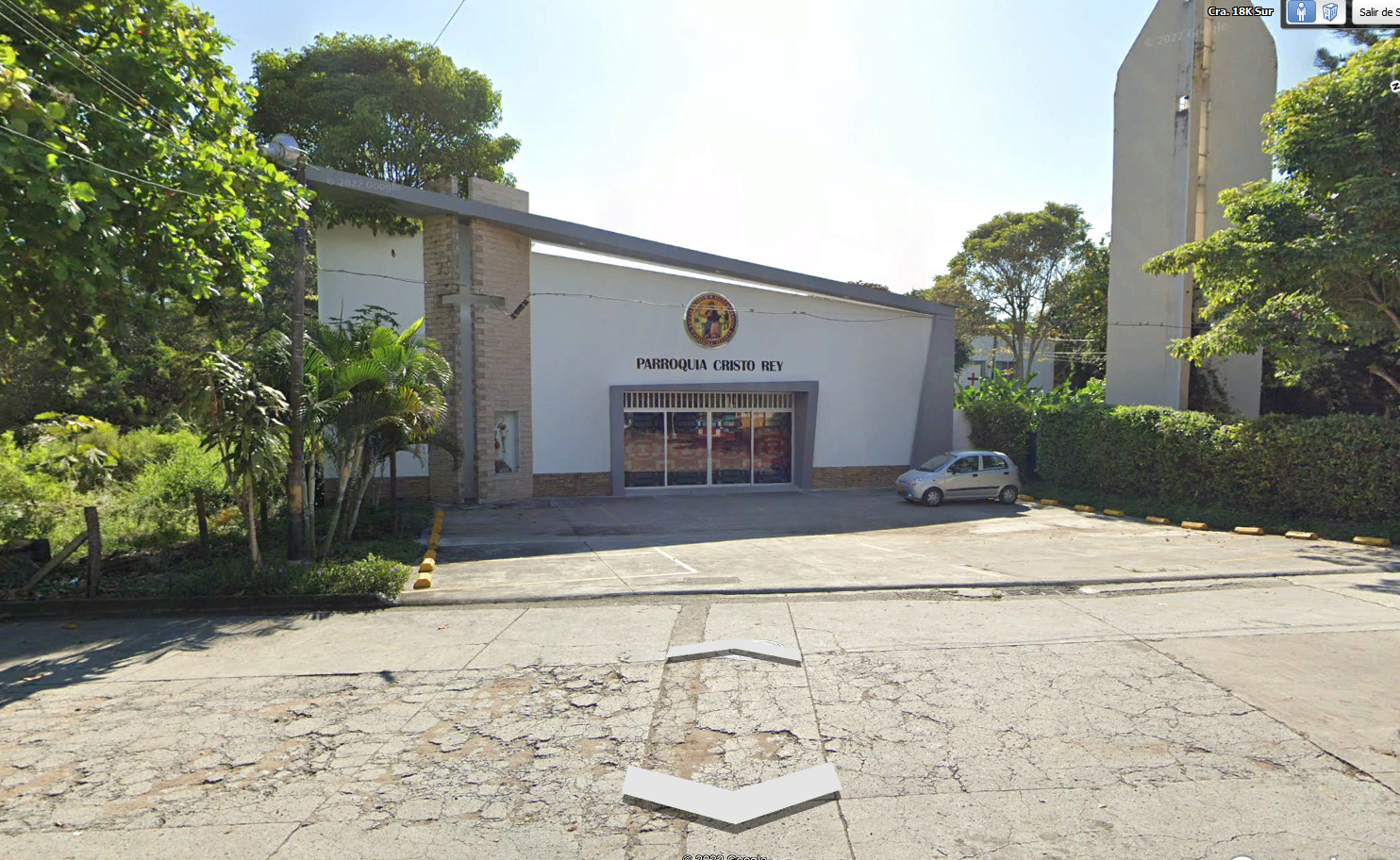
Point of interest after 7.6 km
Parroquia Cristo Rey

Point of interest after 16.5 km
Girar a la izquierda hacia el Trapiche
Point of interest after 18.6 km
Trapiche El Escobal
Point of interest after 19.2 km
Girar a la izquierda
Point of interest after 22.1 km
Cruzar vía
Point of interest after 26.6 km
Girar a la izquierda
Point of interest after 43 km
Desvío El Chaco

Point of interest after 46.1 km
Girar a la derecha en estación de policía

Point of interest after 64.1 km
Charco La Olleta

Photo after 66.1 km
Entrada a Charco la Olleta
Point of interest after 68.2 km
Estación Caldas Museo

Point of interest after 71.3 km
Vía Alvarado - Lisboa

Point of interest after 72 km
Girar a la izquierda Tamarindo
Point of interest after 77.5 km
Parador Hijarana
Point of interest after 77.8 km
Girar a la derecha
Continue with Bikemap
Use, edit, or download this cycling route
You would like to ride Salado Doima Piedras Tebaida San Bernardo Salado or customize it for your own trip? Here is what you can do with this Bikemap route:
Free features
- Save this route as favorite or in collections
- Copy & plan your own version of this route
- Split it into stages to create a multi-day tour
- Sync your route with Garmin or Wahoo
Premium features
Free trial for 3 days, or one-time payment. More about Bikemap Premium.
- Navigate this route on iOS & Android
- Export a GPX / KML file of this route
- Create your custom printout (try it for free)
- Download this route for offline navigation
Discover more Premium features.
Get Bikemap PremiumFrom our community
Other popular routes starting in Ibagué
 Alto de la Linea
- Distance
- 123.2 km
- Ascent
- 5,420 m
- Descent
- 5,442 m
- Location
- Ibagué, Tolima Department, Colombia
 De Calle 86 2-100, Ibagué a Villa Restrepo
- Distance
- 37.7 km
- Ascent
- 673 m
- Descent
- 403 m
- Location
- Ibagué, Tolima Department, Colombia
 tapias - pericos
- Distance
- 70.9 km
- Ascent
- 6,130 m
- Descent
- 6,121 m
- Location
- Ibagué, Tolima Department, Colombia
 Salado Doima Piedras Tebaida San Bernardo Salado
- Distance
- 103.4 km
- Ascent
- 1,151 m
- Descent
- 1,150 m
- Location
- Ibagué, Tolima Department, Colombia
 la mina del salado
- Distance
- 16 km
- Ascent
- 2,095 m
- Descent
- 1,965 m
- Location
- Ibagué, Tolima Department, Colombia
 Martinica baja con sendero
- Distance
- 11.3 km
- Ascent
- 482 m
- Descent
- 482 m
- Location
- Ibagué, Tolima Department, Colombia
 De Carrera 2c ##87a-3, Ibagué a Carrera 4a #108-2, Ibagué
- Distance
- 33.7 km
- Ascent
- 1,255 m
- Descent
- 1,410 m
- Location
- Ibagué, Tolima Department, Colombia
 De Calle 29 4i1, Ibagué a Ibagué
- Distance
- 38.8 km
- Ascent
- 1,258 m
- Descent
- 1,431 m
- Location
- Ibagué, Tolima Department, Colombia
Open it in the app

