

Judenburg-Hohentauern-Judenburg
A cycling route starting in Judenburg, Styria, Austria.
Overview
About this route
Mostly flat, with long gentle climbs, only a few spots where it really gets a bit steeper. Ideal route to get used to climbing.
- -:--
- Duration
- 76.9 km
- Distance
- 1,019 m
- Ascent
- 1,032 m
- Descent
- ---
- Avg. speed
- 1,287 m
- Max. altitude

Route quality
Waytypes & surfaces along the route
Waytypes
Path
6.9 km
(9 %)
Quiet road
4.6 km
(6 %)
Surfaces
Paved
72.3 km
(94 %)
Unpaved
0.8 km
(1 %)
Asphalt
71.5 km
(93 %)
Paved (undefined)
0.8 km
(1 %)
Continue with Bikemap
Use, edit, or download this cycling route
You would like to ride Judenburg-Hohentauern-Judenburg or customize it for your own trip? Here is what you can do with this Bikemap route:
Free features
- Save this route as favorite or in collections
- Copy & plan your own version of this route
- Sync your route with Garmin or Wahoo
Premium features
Free trial for 3 days, or one-time payment. More about Bikemap Premium.
- Navigate this route on iOS & Android
- Export a GPX / KML file of this route
- Create your custom printout (try it for free)
- Download this route for offline navigation
Discover more Premium features.
Get Bikemap PremiumFrom our community
Other popular routes starting in Judenburg
 03 Von Judenburg bis Tamsweg
- Distance
- 89.5 km
- Ascent
- 1,639 m
- Descent
- 1,358 m
- Location
- Judenburg, Styria, Austria
 Judenburg - Nicklensdorf
- Distance
- 59.9 km
- Ascent
- 117 m
- Descent
- 342 m
- Location
- Judenburg, Styria, Austria
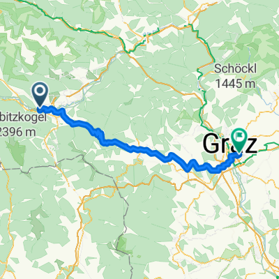 Sonnenrain, Judenburg nach St-Peter-Hauptstraße, Graz
- Distance
- 98.2 km
- Ascent
- 2,247 m
- Descent
- 2,598 m
- Location
- Judenburg, Styria, Austria
 murradweg Judenburg- Leoben
- Distance
- 49.2 km
- Ascent
- 253 m
- Descent
- 426 m
- Location
- Judenburg, Styria, Austria
 Judenburg-Hohentauern-Judenburg
- Distance
- 76.9 km
- Ascent
- 1,019 m
- Descent
- 1,032 m
- Location
- Judenburg, Styria, Austria
 Aichfeldrundfahrt
- Distance
- 38.5 km
- Ascent
- 207 m
- Descent
- 228 m
- Location
- Judenburg, Styria, Austria
 Murradweg
- Distance
- 211.7 km
- Ascent
- 1,292 m
- Descent
- 1,822 m
- Location
- Judenburg, Styria, Austria
 Pack Gaberl Runde vom Murtal
- Distance
- 124.8 km
- Ascent
- 3,263 m
- Descent
- 3,077 m
- Location
- Judenburg, Styria, Austria
Open it in the app