FA08 Briancon
- 69.2 km
- 2,096 m
- 1,479 m
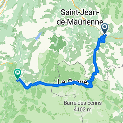
- Saint-Michel-de-Maurienne, Auvergne-Rhône-Alpes, France
A cycling route starting in Saint-Michel-de-Maurienne, Auvergne-Rhône-Alpes, France.
Overview
Vallée de la Maurienne - Alpe d'Huez over Col de la Croix de Fer
created this 3 years ago
Route quality
Road
4.5 km
5 %
Pedestrian area
2.7 km
3 %
Paved
62.2 km
(69 %)
Asphalt
62.2 km
69 %
Undefined
27.9 km
31 %
Continue with Bikemap
You would like to ride Maurienne1 or customize it for your own trip? Here is what you can do with this Bikemap route:
Free trial for 3 days, or one-time payment. More about Bikemap Premium.
Discover more Premium features.
Get Bikemap PremiumFrom our community
Open it in the app