sábado 27/9/25
- 37.6 km
- 777 m
- 780 m
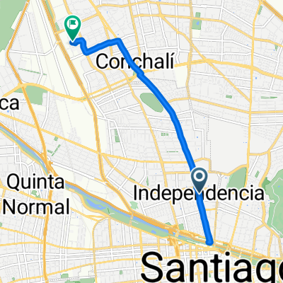
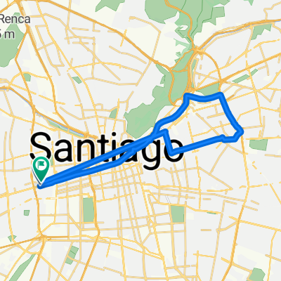
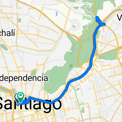
- Santiago, Santiago Metropolitan, Chile
A cycling route starting in Santiago, Santiago Metropolitan, Chile.
Overview
created this 14 years ago
Route quality
Road
26.8 km
(27 %)
Quiet road
14.9 km
(15 %)
Paved
78.5 km
(79 %)
Unpaved
13.9 km
(14 %)
Paved (undefined)
40.7 km
(41 %)
Asphalt
23.8 km
(24 %)
Route highlights
Reten Carabineros San Gabriel.
Bifurcación posterior puente. A valle las Arenas tomar ruta al norte (mano izq).
Continue with Bikemap
You would like to ride Santiago - Valle las Arenas, Cajon del Maipo. or customize it for your own trip? Here is what you can do with this Bikemap route:
Free trial for 3 days, or one-time payment. More about Bikemap Premium.
Discover more Premium features.
Get Bikemap PremiumFrom our community
Open it in the app