

Tour des Bauges - Étape 2
A cycling route starting in Frontenex, Auvergne-Rhône-Alpes, France.
Overview
About this route
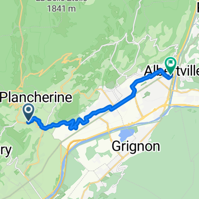
<p>Start : Frontenex</p>
<p>- Col de Tamié</p>
<p>- Col de la Forclaz</p>
<p>- Semnoz</p>
<p>Finish : Gruffy</p>
Translated, show original (French)- -:--
- Duration
- 96.9 km
- Distance
- 2,711 m
- Ascent
- 2,467 m
- Descent
- ---
- Avg. speed
- 1,670 m
- Max. altitude

Route quality
Waytypes & surfaces along the route
Waytypes
Road
22.3 km
(23 %)
Quiet road
8.7 km
(9 %)
Surfaces
Paved
85.2 km
(88 %)
Unpaved
1 km
(1 %)
Asphalt
85.2 km
(88 %)
Ground
1 km
(1 %)
Undefined
10.7 km
(11 %)
Continue with Bikemap
Use, edit, or download this cycling route
You would like to ride Tour des Bauges - Étape 2 or customize it for your own trip? Here is what you can do with this Bikemap route:
Free features
- Save this route as favorite or in collections
- Copy & plan your own version of this route
- Split it into stages to create a multi-day tour
- Sync your route with Garmin or Wahoo
Premium features
Free trial for 3 days, or one-time payment. More about Bikemap Premium.
- Navigate this route on iOS & Android
- Export a GPX / KML file of this route
- Create your custom printout (try it for free)
- Download this route for offline navigation
Discover more Premium features.
Get Bikemap PremiumFrom our community
Other popular routes starting in Frontenex
 Savoie Lakes tour - Day 1 - Frontenex-Duingt
- Distance
- 57.4 km
- Ascent
- 765 m
- Descent
- 649 m
- Location
- Frontenex, Auvergne-Rhône-Alpes, France
 From Verrens-Arvey to Albertville
- Distance
- 9.6 km
- Ascent
- 40 m
- Descent
- 247 m
- Location
- Frontenex, Auvergne-Rhône-Alpes, France
 20180715_Tour.de.France_11_01
- Distance
- 107.9 km
- Ascent
- 2,605 m
- Descent
- 2,368 m
- Location
- Frontenex, Auvergne-Rhône-Alpes, France
 De 1255 Rue du Bois de l'Île, Tournon à Route du Biolley, Queige
- Distance
- 16.3 km
- Ascent
- 622 m
- Descent
- 88 m
- Location
- Frontenex, Auvergne-Rhône-Alpes, France
 Col de Madeleine loop
- Distance
- 110.6 km
- Ascent
- 1,841 m
- Descent
- 1,693 m
- Location
- Frontenex, Auvergne-Rhône-Alpes, France
 Tour des Bauges - Étape 2
- Distance
- 96.9 km
- Ascent
- 2,711 m
- Descent
- 2,467 m
- Location
- Frontenex, Auvergne-Rhône-Alpes, France
 aravis saisies
- Distance
- 124 km
- Ascent
- 2,645 m
- Descent
- 2,649 m
- Location
- Frontenex, Auvergne-Rhône-Alpes, France
 Chalet de l'Ebaudiaz
- Distance
- 35.3 km
- Ascent
- 1,367 m
- Descent
- 1,367 m
- Location
- Frontenex, Auvergne-Rhône-Alpes, France
Open it in the app