
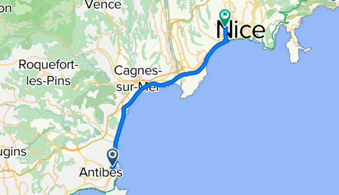
Avenue du 11 Novembre, Antibes to 28 Boulevard du Parc Impérial, Nice
A cycling route starting in Antibes, Provence-Alpes-Côte d'Azur Region, France.
Overview
About this route
- 51 min
- Duration
- 19.1 km
- Distance
- 64 m
- Ascent
- 32 m
- Descent
- 22.5 km/h
- Avg. speed
- 38 m
- Max. altitude

Route quality
Waytypes & surfaces along the route
Waytypes
Cycleway
8.6 km
(45 %)
Path
6 km
(31 %)
Surfaces
Paved
18.4 km
(96 %)
Unpaved
0 km
(<1 %)
Asphalt
17.7 km
(92 %)
Concrete
0.8 km
(4 %)
Continue with Bikemap
Use, edit, or download this cycling route
You would like to ride Avenue du 11 Novembre, Antibes to 28 Boulevard du Parc Impérial, Nice or customize it for your own trip? Here is what you can do with this Bikemap route:
Free features
- Save this route as favorite or in collections
- Copy & plan your own version of this route
- Sync your route with Garmin or Wahoo
Premium features
Free trial for 3 days, or one-time payment. More about Bikemap Premium.
- Navigate this route on iOS & Android
- Export a GPX / KML file of this route
- Create your custom printout (try it for free)
- Download this route for offline navigation
Discover more Premium features.
Get Bikemap PremiumFrom our community
Other popular routes starting in Antibes
 Juan les Pins_5
- Distance
- 73.3 km
- Ascent
- 824 m
- Descent
- 824 m
- Location
- Antibes, Provence-Alpes-Côte d'Azur Region, France
 Antibes - Callian - Mougins - Antibes
- Distance
- 100 km
- Ascent
- 1,080 m
- Descent
- 1,085 m
- Location
- Antibes, Provence-Alpes-Côte d'Azur Region, France
 Rock of pain
- Distance
- 43.4 km
- Ascent
- 1,423 m
- Descent
- 1,438 m
- Location
- Antibes, Provence-Alpes-Côte d'Azur Region, France
 Antibes, Valbonne, Grasse, Mougins, Antibes
- Distance
- 53.6 km
- Ascent
- 575 m
- Descent
- 571 m
- Location
- Antibes, Provence-Alpes-Côte d'Azur Region, France
 Col d'Eze
- Distance
- 66.1 km
- Ascent
- 1,024 m
- Descent
- 1,032 m
- Location
- Antibes, Provence-Alpes-Côte d'Azur Region, France
 Antibes - Saint Jeannet - Vence - Col de Vence - St Pons - Bar s/ Loup - Valbonne - Antibes
- Distance
- 93.1 km
- Ascent
- 1,449 m
- Descent
- 1,450 m
- Location
- Antibes, Provence-Alpes-Côte d'Azur Region, France
 Antibes
- Distance
- 15.3 km
- Ascent
- 123 m
- Descent
- 121 m
- Location
- Antibes, Provence-Alpes-Côte d'Azur Region, France
 125/1400_Antibes-StRoche-Luceram_lp-1
- Distance
- 125 km
- Ascent
- 1,212 m
- Descent
- 1,210 m
- Location
- Antibes, Provence-Alpes-Côte d'Azur Region, France
Open it in the app