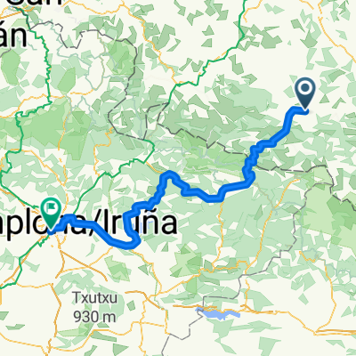
PierreStMartin_4_via_Issarbe
- 75.3 km
- 1,720 m
- 1,720 m
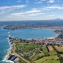
- Arette, Nouvelle-Aquitaine, France
A cycling route starting in Arette, Nouvelle-Aquitaine, France.
Overview
created this 3 years ago
Route quality
Road
16.3 km
(68 %)
Undefined
7.7 km
(32 %)
Paved
13.2 km
(55 %)
Asphalt
13.2 km
(55 %)
Undefined
10.8 km
(45 %)
Continue with Bikemap
You would like to ride COL DE LA PIERRE SAINT-MARTIN (por Lourdios-Ichère) or customize it for your own trip? Here is what you can do with this Bikemap route:
Free trial for 3 days, or one-time payment. More about Bikemap Premium.
Discover more Premium features.
Get Bikemap PremiumFrom our community
Open it in the app