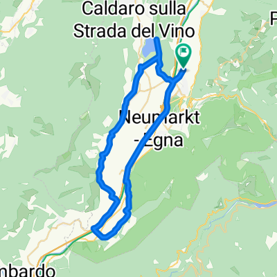
Ora - Caldaro - Mendola - Val di Non - Mezzocorona
- 59.7 km
- 1,809 m
- 1,818 m
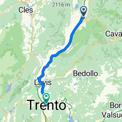
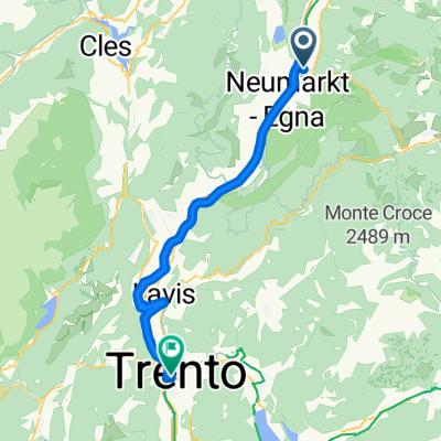
- Auer, Trentino-Alto Adige, Italy
A cycling route starting in Auer, Trentino-Alto Adige, Italy.
Overview
created this 3 years ago
Route quality
Cycleway
17.5 km
(49 %)
Quiet road
7.5 km
(21 %)
Paved
33.2 km
(93 %)
Unpaved
0.7 km
(2 %)
Asphalt
28.5 km
(80 %)
Paved (undefined)
4.6 km
(13 %)
Continue with Bikemap
You would like to ride RadtourÜberetsch Unterland Mitterbergrunde or customize it for your own trip? Here is what you can do with this Bikemap route:
Free trial for 3 days, or one-time payment. More about Bikemap Premium.
Discover more Premium features.
Get Bikemap PremiumFrom our community
Open it in the app