

Pri vinohradoch 9799/269E, Bratislava až Pri starom letisku, Vajnory
A cycling route starting in Bratislava - Vajnory, Bratislava Region, Slovakia.
Overview
About this route
- 3 h 9 min
- Duration
- 32.5 km
- Distance
- 60 m
- Ascent
- 84 m
- Descent
- 10.3 km/h
- Avg. speed
- 158 m
- Max. altitude

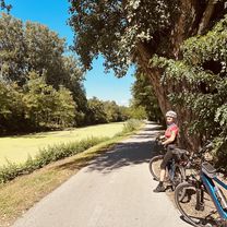
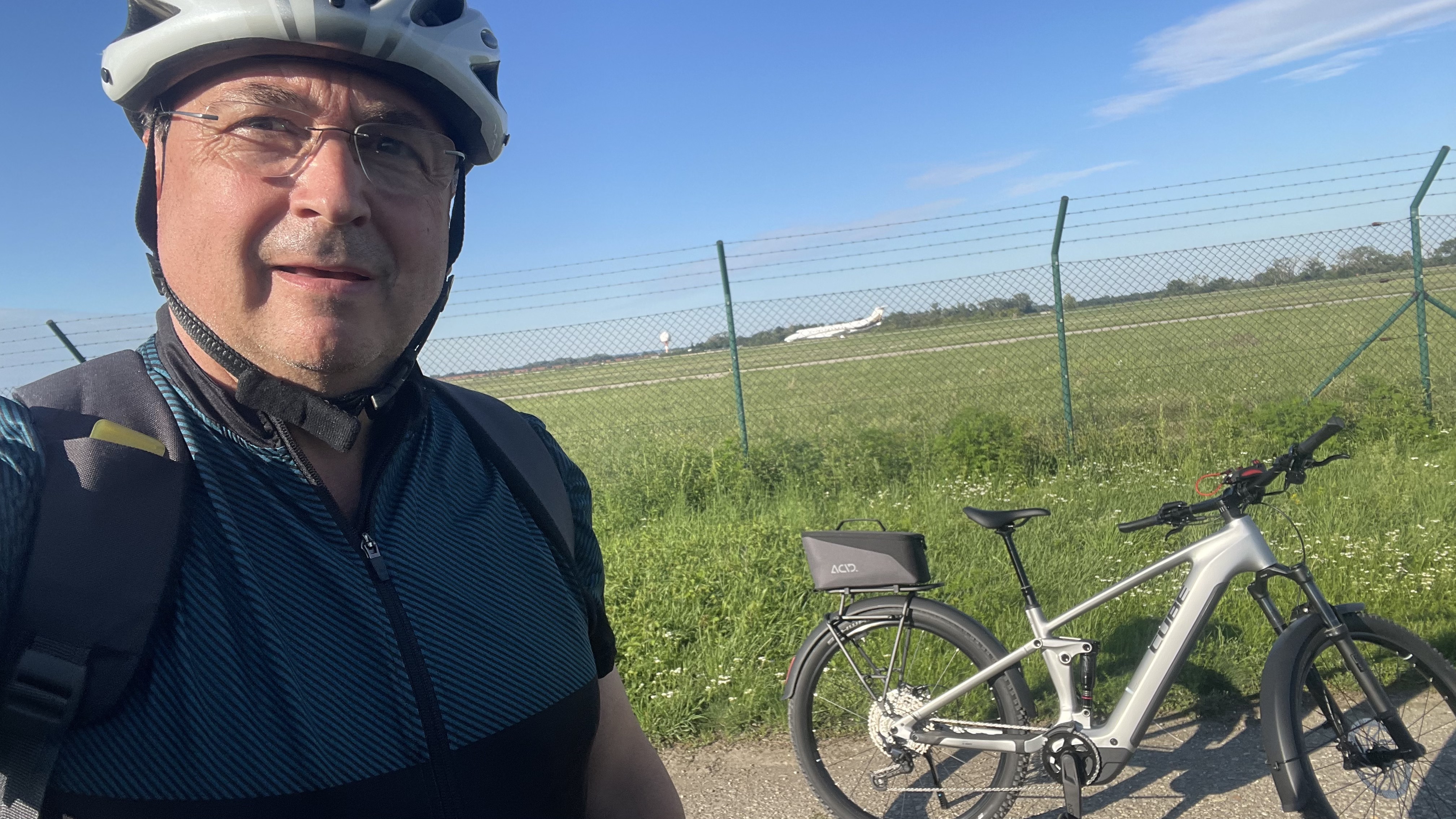
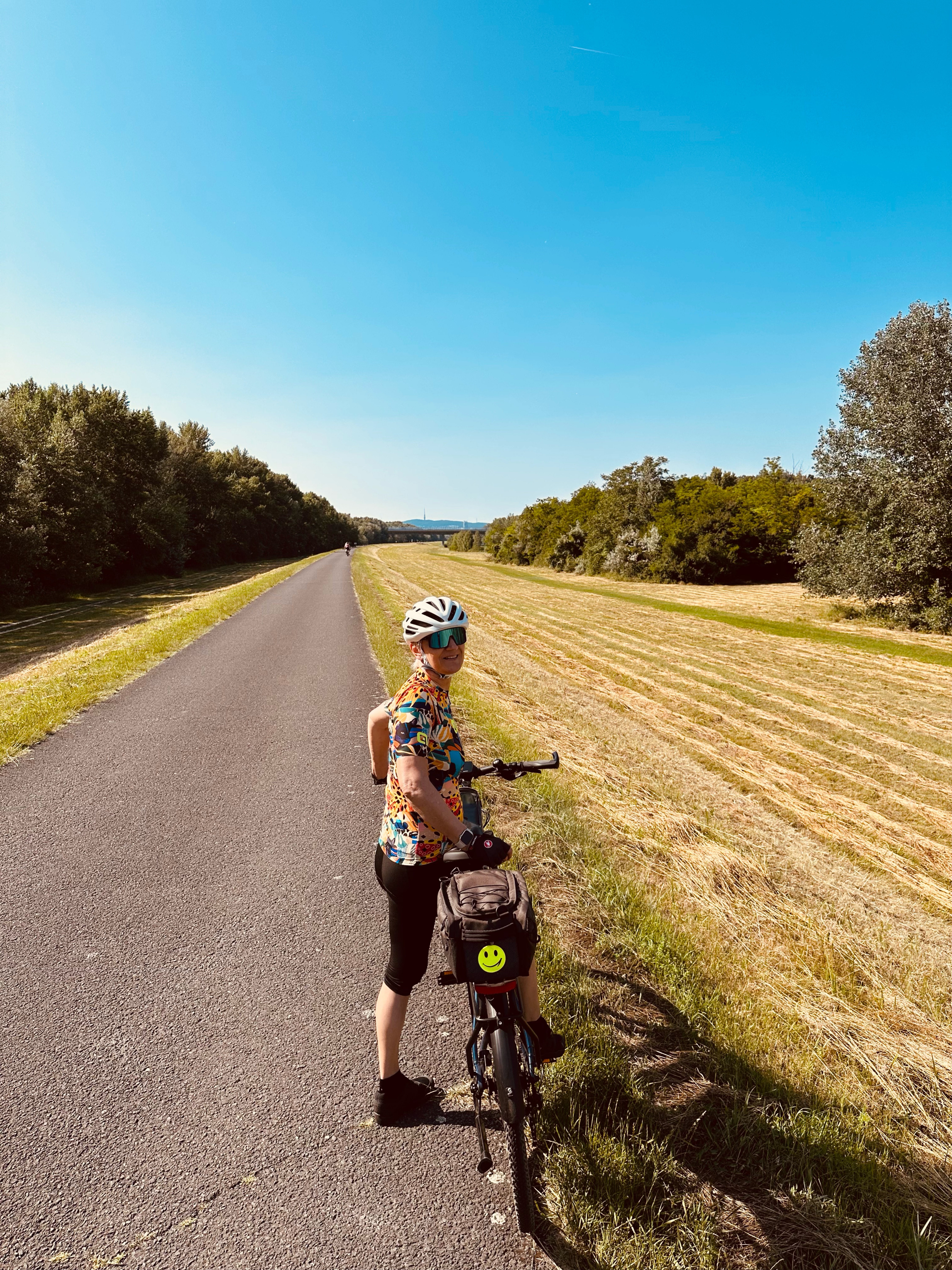
Route photos


Route quality
Waytypes & surfaces along the route
Waytypes
Cycleway
14.6 km
(45 %)
Access road
12.3 km
(38 %)
Surfaces
Paved
28.2 km
(87 %)
Unpaved
1.3 km
(4 %)
Asphalt
15.3 km
(47 %)
Concrete
13 km
(40 %)
Continue with Bikemap
Use, edit, or download this cycling route
You would like to ride Pri vinohradoch 9799/269E, Bratislava až Pri starom letisku, Vajnory or customize it for your own trip? Here is what you can do with this Bikemap route:
Free features
- Save this route as favorite or in collections
- Copy & plan your own version of this route
- Sync your route with Garmin or Wahoo
Premium features
Free trial for 3 days, or one-time payment. More about Bikemap Premium.
- Navigate this route on iOS & Android
- Export a GPX / KML file of this route
- Create your custom printout (try it for free)
- Download this route for offline navigation
Discover more Premium features.
Get Bikemap PremiumFrom our community
Other popular routes starting in Bratislava - Vajnory
 Cyprichova, Bratislava III až Cyprichova, Bratislava III
- Distance
- 9.7 km
- Ascent
- 21 m
- Descent
- 25 m
- Location
- Bratislava - Vajnory, Bratislava Region, Slovakia
 Rača - Rača 2
- Distance
- 21.5 km
- Ascent
- 440 m
- Descent
- 441 m
- Location
- Bratislava - Vajnory, Bratislava Region, Slovakia
 Platanová, Senec
- Distance
- 50.1 km
- Ascent
- 87 m
- Descent
- 87 m
- Location
- Bratislava - Vajnory, Bratislava Region, Slovakia
 Ružinov, Bratislava II až Hornodvorská, Chorvátsky Grob
- Distance
- 23.9 km
- Ascent
- 29 m
- Descent
- 29 m
- Location
- Bratislava - Vajnory, Bratislava Region, Slovakia
 Platanová, Chorvátsky Grob až Platanová, Chorvátsky Grob
- Distance
- 26.2 km
- Ascent
- 97 m
- Descent
- 96 m
- Location
- Bratislava - Vajnory, Bratislava Region, Slovakia
 2.Tag Zlaté piesky bis Zlatná na Ostrove
- Distance
- 95.3 km
- Ascent
- 80 m
- Descent
- 102 m
- Location
- Bratislava - Vajnory, Bratislava Region, Slovakia
 ČV-Vrakuňa-Hamuliakovo-ČV
- Distance
- 66.7 km
- Ascent
- 129 m
- Descent
- 130 m
- Location
- Bratislava - Vajnory, Bratislava Region, Slovakia
 Nepretržitá jazda Bratislava.
- Distance
- 47.1 km
- Ascent
- 131 m
- Descent
- 132 m
- Location
- Bratislava - Vajnory, Bratislava Region, Slovakia
Open it in the app